
What is DigiPIN? India's Digital Addressing System Explained
Published on August 4, 2026
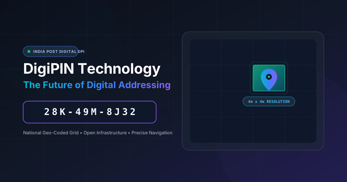
Quick Answer: DigiPIN (Digital Postal Index Number) is a national geo-coded grid system developed by the Department of Posts in collaboration with IIT Hyderabad. It converts any precise location in India into a unique 10-digit alphanumeric code within a 4m x 4m resolution grid, streamlining logistics, navigation, and public governance.
Navigating addresses in India has historically presented a unique puzzle. From informal landmark-based directions (“turn left after the banyan tree”) to overlapping house numbers in densely populated urban lanes, traditional postal delivery often relies on tribal knowledge and manual trial-and-error.
To bridge this gap in physical infrastructure, the Department of Posts (India Post), in collaboration with the Indian Institute of Technology (IIT) Hyderabad, introduced DigiPIN—the Digital Postal Index Number. Designed to act as a universal, standardized digital addressing layer for the nation, DigiPIN promises to modernize logistics, emergency response, e-commerce, and public service delivery.
In this comprehensive guide, we will explore what DigiPIN is, how the underlying technology works, why it outperforms traditional 6-digit PIN codes, and how businesses and citizens can leverage it.
What is DigiPIN?
DigiPIN is an open, interoperable, geo-coded addressing framework that divides the entire geographical domain of India into tiny, precise spatial units. Each unit—measuring approximately 4 meters by 4 meters (4m x 4m)—is assigned a distinct 10-character alphanumeric code.
Unlike physical addresses that depend on street names, building numbers, or regional landmarks, a DigiPIN is derived mathematically from latitude and longitude coordinates. This means every doorstep, farm plot, utility pole, or remote hillock in India receives an unambiguous, permanent digital identity.
Key Characteristics of DigiPIN
- Hyper-Local Precision: Offers pin-point location accuracy down to a 4m x 4m grid cell.
- National Coverage: Covers the entire Indian landmass, exclusive economic zones (EEZ), and offshore islands.
- Open & Public Domain: Developed as a public technology stack, allowing free integration by logistics providers, tech developers, and government bodies.
- Privacy-Conscious: Encodes spatial coordinates directly without attaching personal identity or property ownership data to the code itself.
The Tech Behind DigiPIN: How the Grid Works
To appreciate the genius of DigiPIN, it helps to understand its underlying mathematical structure.
1. Hierarchical Spatial Partitioning
The DigiPIN algorithm partitions India’s geographic expanse into a bounding box spanning from 6°N to 38°N latitude and 68°E to 98°E longitude. This vast expanse is partitioned recursively into smaller sub-grids across multiple levels:
- Level 1 (Regional Grid): Divides the country into primary macro-regions.
- Intermediate Levels: Continuously sub-divide each region into finer grid cells.
- Level 10 (4m x 4m Cell): The final level yields the ultra-precise 10-character code representing an individual unit space.
2. Alphanumeric Code Structure
To avoid confusion during human reading and typing, the DigiPIN character set intentionally excludes visually ambiguous characters (such as the numbers 0 and 1 alongside the letters O and I). Instead, it uses a curated 16-character alphanumeric set (0-9 and selected uppercase letters).
An example DigiPIN code looks like this: 28K-49M-8J32 (often formatted with hyphens for visual readability).
National Grid  ──►  Regional Sub-Grid  ──►  Local Zone  ──►  4m x 4m Unit
   [ 2 8 K ]           [ 4 9 M ]          [ 8 J ]         [ 3 2 ]
3. Offline Computation & Interoperability
Because DigiPIN relies on mathematical coordinate transformation algorithms rather than central database lookups, devices can encode coordinates into a DigiPIN (or decode a DigiPIN into latitude/longitude) completely offline. This offline capability ensures high utility in remote regions with weak cellular connectivity.
Why India Needs a Universal Digital Address
While India’s legacy 6-digit PIN Code system (introduced in 1972) served the nation well for decades, it was designed for sorting physical mail at regional post offices—not for guiding autonomous delivery drones, precise ambulance dispatchers, or last-mile courier riders.
Here is why a transition to DigiPIN is crucial:
| Feature | Legacy 6-Digit PIN Code | Modern 10-Digit DigiPIN |
|---|---|---|
| Precision | Broad area (covers towns, zip zones) | Pinpoint location (4m x 4m grid) |
| Resolution | Low (one code for thousands of homes) | High (individual house/gate level) |
| Derivation | Assigned manually by postal authorities | Computed mathematically from GPS |
| Unmapped Areas | Fails in rural or informal settlements | Works anywhere on Indian territory |
| Offline Conversion | Requires central databases | Mathematical, offline algorithm |
Key Benefits Across Key Sectors
The rollout of DigiPIN provides strategic advantages for multiple stakeholders across the economic spectrum.
1. For E-Commerce & Logistics Companies
Last-mile delivery accounts for up to 53% of total shipping costs, largely due to incorrect addresses, missed deliveries, and driver phone calls asking for directions.
- Zero Navigation Ambiguity: Delivery personnel can navigate directly to the specific entrance gate or loading dock.
- Optimized Route Planning: Logistics algorithms can sort packages by micro-clusters, drastically reducing fuel consumption and turnaround time.
- Automated Locker Systems: Enables precise drop-offs at automated parcel lockers scattered across smart cities.
2. For Government Agencies & Public Services
- Disaster Relief & Management: During floods or earthquakes, rescue teams can identify damaged infrastructure or trapped citizens using 10-character DigiPIN blocks.
- Census & Infrastructure Planning: Streamlines public surveys, urban planning, pipe layer alignment, and property tax mapping.
- Targeted Welfare Delivery: Ensures government benefits, agricultural subsidies, and rural development programs reach exact households without leakage.
3. For Emergency First Responders
In medical or fire emergencies, every second saved directly impacts survival rates. Landmark-based directions often fail at night or during stressful calls.
Beyond commerce, pinpoint accuracy saves lives during critical moments. Learn more about how DigiPIN empowers emergency services in India to see how first responders navigate unmapped or crowded urban areas without losing vital time.
4. For Everyday Citizens
- Easier Address Sharing: Simply send a 10-character string over messaging apps instead of writing out long, four-line text addresses.
- Privacy Protection: Share your physical location without revealing personal sensitive metadata like your full name or residence details unnecessarily.
How to Obtain and Use a DigiPIN
As India Post rolls out the national digital addressing portal, citizens and businesses can easily interact with DigiPIN:
- Locate Your Coordinates: Open the official DigiPIN web portal or app (or an integrated partner map tool).
- Select Your Entrance: Move the interactive map pin directly over your building’s main entrance or delivery gate.
- Generate Code: The system instantly processes the latitude and longitude, generating your 10-character DigiPIN.
- Attach to Profile: Add your DigiPIN alongside your conventional address on e-commerce sites, delivery applications, and official forms.
The Road Ahead: Future Integration & Adoption
DigiPIN is designed as an essential component of India’s digital public infrastructure (DPI), alongside platforms like Aadhaar, UPI, and ONDC (Open Network for Digital Commerce).
As ONDC expands, integrating DigiPIN will allow hyper-local merchants—even those without formal street addresses—to list their stores and receive doorstep courier pick-ups effortlessly. Furthermore, drone delivery networks, autonomous logistics robots, and smart city infrastructure will rely heavily on the standardized 4m x 4m spatial grid to operate safely.
Conclusion
DigiPIN is more than just a replacement for standard zip codes—it is a foundation for India’s digital spatial economy. By converting physical geography into an open, precise, and offline-compatible digital grid, DigiPIN unlocks unprecedented efficiency for logistics providers, government infrastructure, emergency services, and everyday consumers.
As adoption spreads across public and private sectors, DigiPIN will redefine how India navigates, delivers, and connects.