
How DigiPIN Empowers Emergency Services in India
Published on July 13, 2026
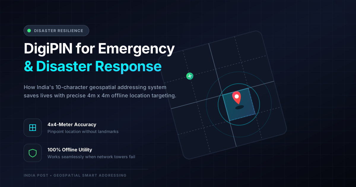
Quick Answer: DigiPIN revolutionizes emergency services in India by dividing the country into precise 4x4-meter grids, allowing first responders, disaster management teams, and logistics providers to locate victims and deliver aid with pinpoint accuracy, even when traditional physical landmarks are destroyed.
When disaster strikes, every second counts. In a country as vast and geographically diverse as India, traditional addressing systems often fail during emergencies. Monsoons wash away roads, earthquakes alter landscapes, and dense urban slums lack structured street names.
To bridge this critical gap, the Department of Posts, under the Ministry of Communications, introduced DigiPIN (Digital Postal Index Number). By dividing the entire Indian landmass into a grid of 4x4-meter squares, this geospatial addressing system is set to redefine how emergency services, disaster management authorities, and logistics companies operate during crises.
Here is a comprehensive look at how DigiPIN is transforming emergency response and disaster resilience across India.
What is DigiPIN? The Science of 4x4-Meter Grids
DigiPIN is not just an upgrade to the traditional 6-digit PIN code; it is a paradigm shift. It is a 10-character alphanumeric code based on geospatial coordinates.
Unlike traditional addresses that rely on subjective landmarks (e.g., “behind the old temple” or “near the big banyan tree”), DigiPIN assigns a permanent, unique digital identifier to every single 4x4-meter plot of land in India.
Because it is based on latitude and longitude, the code remains constant even if:
- Buildings collapse.
- Street signs are destroyed.
- Entire neighborhoods are flooded.
This mathematical certainty makes DigiPIN an invaluable tool for search and rescue operations.
Why Traditional Addressing Fails in Disasters
During extreme weather events, such as the floods in Kerala, landslides in Wayanad, or cyclones in Odisha, physical infrastructure is the first to go.
- Loss of Landmarks: Rescue teams cannot find “the blue house next to the pharmacy” if the pharmacy has been swept away.
- Ambiguity in Rural Areas: Rural India often lacks structured door-to-door numbering, leading to massive delays when ambulances or rescue boats try to locate victims.
- Pincode Over-generalization: A traditional 6-digit PIN code covers a massive geographic area. During a medical emergency, searching an entire PIN code zone for a specific patient is impossible.
DigiPIN solves these issues by bypassing physical landmarks entirely, converting any location into an absolute, unchangeable digital coordinate.
Key Benefits of DigiPIN in Emergency Services
[Disaster Event] ──> [Traditional Address Lost] ──> [DigiPIN Grid Identified] ──> [Precision Rescue]1. Precision Search and Rescue (SAR) Operations
During floods or earthquakes, the National Disaster Response Force (NDRF) and State Disaster Response Forces (SDRF) face the monumental task of locating stranded survivors.
With DigiPIN, a survivor can share their 10-character code via a basic SMS or voice call. Rescue teams can input this code directly into their navigation systems to pinpoint the survivor’s exact 4x4-meter grid location, saving crucial hours that would otherwise be spent searching.
2. Last-Mile Delivery of Critical Medical Supplies
For courier companies, drone operators, and government agencies, delivering blood bags, medicines, or food rations during a crisis is highly challenging.
Drones require highly accurate coordinates to land safely and drop payloads. DigiPIN provides the exact grid coordinates needed for autonomous drone navigation, ensuring that life-saving supplies reach the right rooftop or clearing without human error.
3. Zero-Dependency Offline Navigation
One of the most robust features of the DigiPIN framework is its offline capability. Because the 10-character alphanumeric code is generated using a standardized mathematical algorithm based on Earth’s coordinates, it does not require an active internet connection to be decoded.
First responders equipped with DigiPIN-enabled handheld devices can locate coordinates even when cellular towers are down and the internet is completely offline.
Revolutionizing Disaster Management for Government and Logistics
For government agencies and logistics companies, preparing for and responding to disasters requires seamless coordination. Here is how DigiPIN streamlines these operations:
Inter-Agency Coordination
During a crisis, multiple agencies—including the Indian Army, local police, fire departments, municipal corporations, and NGOs—must work together.
Using different mapping tools can lead to miscommunication. DigiPIN serves as a single, standardized national addressing language that all agencies can use to mark hazard zones, locate safe shelters, and deploy resources without cross-platform compatibility issues.
Smart Resource Allocation
Disaster management authorities can map historical flood zones, landslide-prone areas, and high-risk coastal zones using DigiPIN grids. By analyzing data at a micro-level (4x4 meters), governments can:
- Pre-position relief materials exactly where they are most likely to be needed.
- Create micro-evacuation plans for specific streets and households.
- Map critical infrastructure like water pumps, power grids, and mobile towers to monitor their status in real-time.
How to Get Started with DigiPIN
As India transitions toward a digital-first economy, adopting this technology is essential for businesses, emergency professionals, and everyday citizens alike.
Knowing your digital address can be a lifesaver in an emergency. If you want to secure your home or business location, you can start by generating your own digital address using India Post’s official tools. Having this code memorized or written down ensures you can share your precise location with emergency services instantly, even in the worst-case scenarios.
Conclusion: A Safer, More Resilient India
DigiPIN is more than just a tool for e-commerce and mail delivery; it is a cornerstone of national safety and disaster resilience. By transforming how we define locations, it empowers emergency services to act faster, helps logistics companies navigate the toughest terrains, and provides government agencies with the precision needed to save lives.
In a rapidly changing world where climate-induced disasters are becoming more frequent, integrating DigiPIN into our daily lives and emergency protocols is not just smart—it is life-saving.