
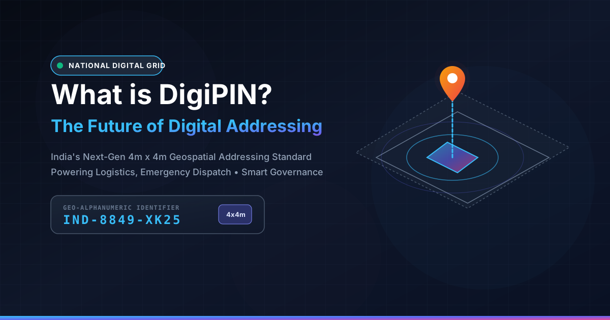
What is DigiPIN? India's Digital Address Revolution
Published on August 14, 2026
Quick Answer: DigiPIN is India’s national digital addressing grid system developed by the Department of Posts and IIT Hyderabad, encoding precise 4m x 4m geographical locations into a standardized 10-character alphanumeric code to revolutionize last-mile delivery, governance, and emergency response.
Finding an address in India has historically been an exercise in patience. From landmark-based directions like “opposite the big banyan tree” to vague house numbering systems across sprawling urban and rural settlements, physical navigation often results in lost time, delayed deliveries, and wasted fuel.
To solve this systemic challenge, the Department of Posts (India Post), in collaboration with IIT Hyderabad, introduced DigiPIN—a pioneering, open-source National Digital Address Grid system. Designed to provide a standardized, hyper-local digital identifier for every four-square-meter parcel of land across India, DigiPIN is set to transform how logistics companies, emergency responders, government agencies, and everyday citizens interact with physical space.
What is DigiPIN?
DigiPIN (Digital Postal Index Number) is a geo-coded, 10-character alphanumeric addressing system that divides the entire geographical expanse of India into uniform 4-meter by 4-meter (4m x 4m) grid cells.
Unlike traditional postal codes that cover dozens of square kilometers, a DigiPIN functions as a virtual digital latitude-longitude proxy. Each code uniquely maps to a distinct rooftop, doorway, farm plot, or infrastructure point.
Example Structure of a DigiPIN:
Format: 23-4K-89-LM-10 (Hypothetical representation)
Grid Cell Precision: 4m x 4m (Approx. 16 square meters)
Coverage: Entire Indian landmass and maritime Exclusive Economic Zones (EEZ)
By decoupling addresses from complex written text and translating physical coordinates into a short, human-readable string, DigiPIN creates an interoperable standard across government records, e-commerce platforms, emergency dispatch systems, and mapping software.
How DigiPIN Works: The Geospatial Architecture
The technical foundation of DigiPIN relies on a hierarchical, multi-level spatial grid. Developed using advanced geospatial indexing models, the system divides the country through progressive partitioning:
- Primary Partitioning: India’s geospatial bounding box is divided into massive regional zones.
- Hierarchical Sub-Grids: Each regional zone is repeatedly subdivided into smaller quadrants down to tier-level sub-grids.
- The 4m x 4m Bounding Unit: At its terminal layer, the algorithm isolates a 16-square-meter block, generating a unique 10-character alphanumeric string.
- Alphanumeric Character Encoding: To prevent optical confusion and misreading, DigiPIN uses an alphanumeric character set that completely omits ambiguous characters (such as confusing
0withO, or1withI).
Because DigiPIN is derived through an algorithmic mathematical conversion of latitude and longitude coordinates, it functions entirely offline without requiring continuous database lookups. Any GPS-enabled smartphone or device can convert raw coordinates into a DigiPIN and vice versa in milliseconds.
DigiPIN vs Traditional Postal Codes
To understand the magnitude of this shift, consider how traditional 6-digit PIN codes operate compared to this new geospatial framework. If you want a deep dive into the technical metrics, read our comprehensive comparison of DigiPIN vs traditional PIN codes.
| Feature | Traditional PIN Code (1972) | DigiPIN (Next-Gen Digital Grid) |
|---|---|---|
| Precision | Broad area (20 – 100+ sq. km) | Precise grid (4m x 4m cell) |
| Identification Unit | Entire postal delivery zone | Specific door, gate, or building corner |
| Dependency | Requires manual text addresses & landmarks | Mathematical derivation from GPS coordinates |
| Interoperability | Human-sorted, manual routing | Machine-readable, automated routing |
| Privacy Risk | Exposes street, house number, personal details | Encrypted alphanumeric string with zero text metadata |
While the legacy PIN code served postal sorting hubs well in the 20th century, modern algorithmic commerce requires hyper-precise point locations.
Strategic Benefits Across Key Sectors
The rollout of DigiPIN directly addresses long-standing bottlenecks in supply chain, governance, and public safety.
       ┌────────────────────────────────────────────────────────┐
       │                   DIGIPIN ECOSYSTEM                    │
       └──────────────────────────┬─────────────────────────────┘
                                  │
      ┌─────────────────┬─────────┴─────────┬─────────────────┐
      ▼                 ▼                   ▼                 ▼
┌───────────┐     ┌───────────┐       ┌───────────┐     ┌───────────┐
│ E-Commerce│     │ Emergency │       │Citizen/KYC│     │Government │
│ Logistics │     │ Services  │       │ & Banking │     │  Gati     │
│  Routing  │     │ 112/NDRF  │       │Validation │     │  Shakti   │
└───────────┘     └───────────┘       └───────────┘     └───────────┘
1. E-Commerce and Last-Mile Logistics
Last-mile delivery accounts for up to 53% of total shipping costs. Delivery executives routinely spend 5 to 10 minutes per package making phone calls to locate apartment wings or rural homes.
- Zero Navigation Phone Calls: Couriers navigate directly to the specific driveway or delivery bay.
- Dynamic Route Optimization: Automated batch routing algorithms group packages by exact micro-clusters.
- Drone and Autonomous Delivery: Provides the machine-readable precision required for automated drop-offs.
2. Emergency Services and Disaster Management
During medical emergencies, structural fires, or natural disasters, every second matters.
- Ambulance Dispatch: Direct routing to alleyways or unnumbered buildings without confusing landmark directions.
- Disaster Response (NDRF): Enables rescue teams to coordinate grid-by-grid relief operations during floods where street signs and physical markers are submerged.
3. Financial Inclusion and Digital KYC
Verifying a customer’s physical address for banking, credit checks, and SIM card issuance remains a high-friction operation in India.
- Instant Address Verification: Financial institutions can verify residence digitally against land registry databases.
- Doorstep Banking: Mobile banking correspondents locate remote rural account holders instantly.
4. Urban Planning and Government Welfare (PM Gati Shakti)
By integrating with the PM Gati Shakti National Master Plan, DigiPIN standardizes public asset tracking, municipal taxation, water pipe networking, and electrical grid maintenance under one unified geospatial language.
Privacy and Data Security by Design
A primary advantage of DigiPIN is its privacy-first architecture.
Unlike a conventional physical address that exposes your name, flat number, street name, and socioeconomic locality, a DigiPIN is an anonymized string of characters. When sharing a location for a package drop or ride pickup, users share a spatial coordinate without leaking personal details or permanent residential records.
Furthermore, because it is based on a public, open-source standard, it prevents proprietary lock-in by private global mapping monopolies, ensuring Indian digital infrastructure remains sovereign and resilient.
How to Obtain and Use a DigiPIN
As India Post rolls out public APIs and portal integrations, adopting DigiPIN is straightforward:
- Access the Portal / App: Visit the official India Post geospatial portal or integrated mapping applications.
- Drop a Pin: Locate your exact doorway or building entrance using high-resolution satellite imagery or device GPS.
- Generate Code: The system instantly derives your unique 10-character DigiPIN.
- Attach to Profiles: Save your DigiPIN to your e-commerce profiles, utility bills, or delivery instructions.
Conclusion: The Road Ahead
DigiPIN represents more than just an updated postal code; it is foundational digital public infrastructure (DPI) on par with Aadhaar, UPI, and ONDC. By translating the complex topography of India into a standardized 4m x 4m digital canvas, DigiPIN unlocks unprecedented efficiencies for commerce, safety, and governance.
As businesses and developers integrate DigiPIN APIs into their checkout screens and ERPs, India moves closer to a frictionless, hyper-connected digital economy.