
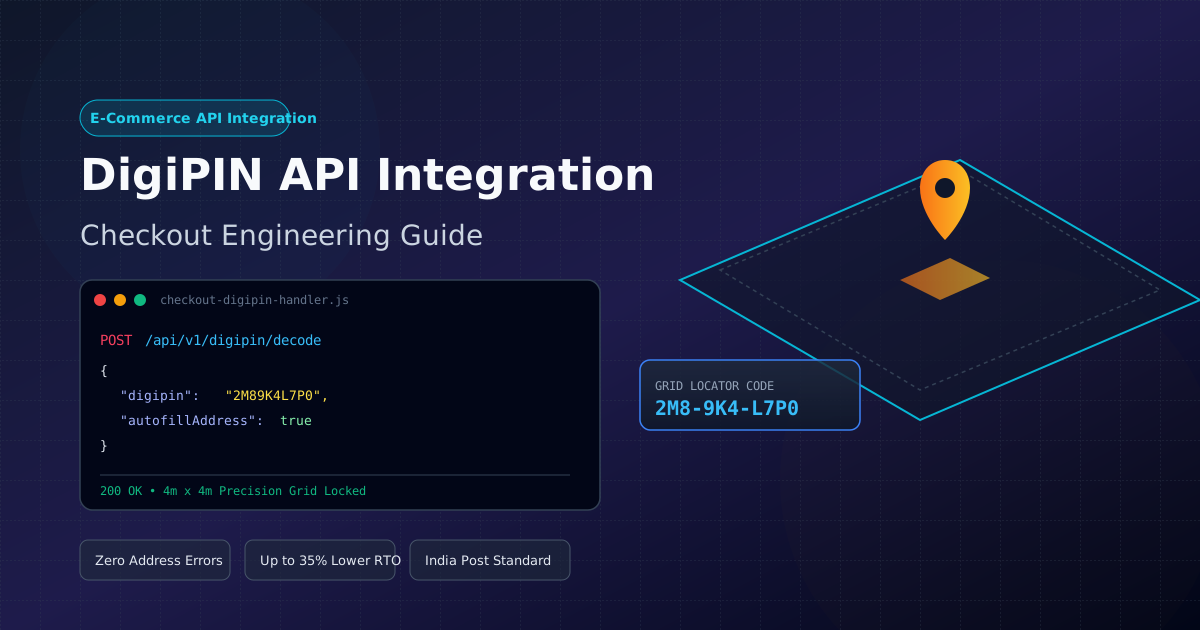
Integrating DigiPIN API in E-Commerce: Developer Guide
Published on July 27, 2026
Quick Answer: Integrating the DigiPIN API into your e-commerce checkout allows you to capture a customer’s exact 4m x 4m geospatial location grid code, resolving address ambiguity in India, reducing Return-To-Origin (RTO) rates by up to 35%, and enabling automated route optimization for courier partners.
The Indian e-commerce landscape is expanding rapidly into Tier-2, Tier-3, and rural regions. However, last-mile logistics remain significantly hindered by unstructured, ambiguous, or incomplete physical addresses. Delivery executives frequently waste valuable time calling customers for landmark directions, leading to higher failed deliveries and costly Return-To-Origin (RTO) rates.
India’s new DigiPIN (Digital Postal Index Number) initiative—developed by the Department of Posts in collaboration with IIT Hyderabad and ISRO—redefines location accuracy by dividing the country into a standardized, 4m x 4m geospatial grid. Each grid unit is assigned a unique, 10-character alphanumeric code.
For developers and engineering leads in e-commerce, courier platforms, and logistics SaaS companies, integrating the DigiPIN API directly into the checkout workflow eliminates location friction. In this comprehensive technical guide, we will walk through the architecture, API implementation steps, edge-case handling, and best practices for integrating DigiPIN into your e-commerce platform.
Why E-Commerce Platforms Need DigiPIN Integration
Traditional checkout forms rely on manual text inputs: street name, house number, nearby landmark, city, state, and a 6-digit PIN code. In many parts of India, multiple properties share identical or missing street numbers, and a single 6-digit PIN code often covers hundreds of square kilometers.
Integrations with the DigiPIN API provide several immediate operational benefits:
- Hyper-Precise Accuracy: Pinpoints delivery destinations down to a 4x4 meter cell (e.g., exact building entrance or loading dock).
- Automated Address Autofill: Converting a 10-character DigiPIN into structured address metadata reduces checkout form friction and increases conversion rates.
- Drastic RTO Reduction: Prevents “Address Untraceable” exceptions during last-mile delivery.
- Enhanced Dispatch Routing: Enables automated dispatch algorithms to group deliveries based on spatial grid proximity rather than arbitrary postal boundaries.
Architecture of DigiPIN API Integration
A standard checkout integration follows a two-way synchronization pattern between the client-side checkout frontend, your backend backend application server, the DigiPIN Resolution Service, and partner Logistics APIs (such as Delhivery, Bluedart, or India Post).
+-------------------+      +-----------------------+      +-------------------------+
|  E-Commerce Client| ---> |  Application Server   | ---> |  DigiPIN API Engine     |
| (React / Mobile)  |      |  (Node.js / Python)   |      | (Geo-Grid Resolver)     |
+-------------------+      +-----------------------+      +-------------------------+
          |                            |                               |
          | <--- Form Pre-fill ------- | <--- GeoJSON / Lat-Long ------|
          |
          v
+-----------------------------------------------------------------------------------+
|                     Order Storage & Courier API Dispatch                          |
+-----------------------------------------------------------------------------------+
Key Components:
- Frontend Layer: Captures user-entered DigiPIN or offers a interactive map widget that auto-generates the 10-character code based on device GPS.
- Validation Engine: Validates the string structure (checksum and grid character set) before issuing remote HTTP calls.
- Resolution API: Queries the official or middleware DigiPIN gateway to convert coordinates (
lat,long) into a DigiPIN, or decodes a DigiPIN into spatial bounds (bounding_box,center_point).
Step-by-Step Technical Integration Guide
Let us look at a practical node/web implementation example for integrating DigiPIN into a checkout workflow.
Step 1: Client-Side Input & UI Component
Add a dedicated DigiPIN field alongside traditional address inputs. Include a client-side regex check to confirm the 10-character syntax before submitting data.
<!-- Checkout Address Form Fragment -->
<div class="address-group">
  <label for="digipin-input">Enter 10-Character DigiPIN (Optional but Recommended)</label>
  <input
    type="text"
    id="digipin-input"
    name="digipin"
    placeholder="e.g., 2M8-9K4-L7P0"
    maxlength="12"
    pattern="[A-Z0-9]{3}-?[A-Z0-9]{3}-?[A-Z0-9]{4}"
    oninput="handleDigiPinInput(this.value)"
  />
  <button type="button" id="locate-me-btn" onclick="fetchGPSAndConvert()">
    Use Current Location
  </button>
  <span id="digipin-status"></span>
</div>
Step 2: Client-Side Geolocation Converter (GPS to DigiPIN)
When the user clicks “Use Current Location”, retrieve HTML5 geolocation coordinates and hit your backend proxy to convert coordinates into a valid DigiPIN.
async function fetchGPSAndConvert() {
  const statusElement = document.getElementById('digipin-status');

  if (!navigator.geolocation) {
    statusElement.textContent = "Geolocation is not supported by your browser.";
    return;
  }

  statusElement.textContent = "Detecting precise grid coordinates...";

  navigator.geolocation.getCurrentPosition(async (position) => {
    const { latitude, longitude } = position.coords;

    try {
      const response = await fetch('/api/v1/digipin/encode', {
        method: 'POST',
        headers: { 'Content-Type': 'application/json' },
        body: JSON.stringify({ latitude, longitude })
      });

      const data = await response.json();

      if (data.success) {
        document.getElementById('digipin-input').value = data.digipin;
        statusElement.textContent = `Grid locked: ${data.district}, ${data.state}`;
      } else {
        statusElement.textContent = "Could not resolve DigiPIN for this location.";
      }
    } catch (error) {
      console.error("DigiPIN resolution error:", error);
      statusElement.textContent = "Error resolving location grid.";
    }
  });
}
Step 3: Server-Side API Handler (Node.js/Express)
Your backend proxy receives coordinates or a raw DigiPIN, calls the core geospatial transformation engine, and enriches the order schema.
const express = require('express');
const router = express.Router();
const axios = require('axios');

// Route: Decode DigiPIN to Lat/Long and address components
router.post('/api/v1/digipin/decode', async (req, res) => {
  const { digipin } = req.body;

  // Sanitize input
  const cleanDigiPin = digipin.replace(/[^A-Z0-9]/gi, '').toUpperCase();

  if (cleanDigiPin.length !== 10) {
    return res.status(400).json({ success: false, message: 'Invalid DigiPIN length' });
  }

  try {
    // Call official/proxy DigiPIN Gateway API
    const apiResponse = await axios.get(`https://api.digipin.gov.in/v1/resolve`, {
      params: { code: cleanDigiPin },
      headers: { 'X-API-KEY': process.env.DIGIPIN_API_KEY }
    });

    const { latitude, longitude, state, district, subDistrict, boundingBox } = apiResponse.data;

    return res.status(200).json({
      success: true,
      digipin: cleanDigiPin,
      coordinates: { latitude, longitude },
      addressMeta: { state, district, subDistrict },
      boundingBox
    });
  } catch (error) {
    console.error("DigiPIN Gateway API Error:", error.message);
    return res.status(500).json({ success: false, message: 'Geospatial resolution failed' });
  }
});

module.exports = router;
Interoperability with Logistics and Emergency Protocols
The universal nature of geospatial grid technology extends far beyond e-commerce parcel delivery. Because DigiPIN operates on an open geospatial reference model, the exact same coordinate system used by your web store can be utilized by emergency services, medical supply drones, and disaster recovery fleets.
For instance, during floods or extreme weather events where traditional physical road markers and street signs are destroyed, logistics channels and emergency responders switch to the exact same grid system. You can read more about these mission-critical applications in our article on DigiPIN in Emergencies: Saving Lives with Precision.
By adopting DigiPIN in your commercial e-commerce pipeline today, your technology stack becomes natively compatible with national digital infrastructure and emergency distribution networks during critical supply-chain disruptions.
Storing DigiPIN Data in Order Schemas
When storing order details, extend your database schema (MongoDB, PostgreSQL, MySQL) to treat DigiPIN as a indexed geospatial property alongside human-readable text fields.
Example Database Schema (PostgreSQL with PostGIS)
CREATE TABLE order_shipping_addresses (
    id SERIAL PRIMARY KEY,
    order_id VARCHAR(64) NOT NULL,
    full_name VARCHAR(255) NOT NULL,
    street_address TEXT NOT NULL,
    city VARCHAR(100) NOT NULL,
    state VARCHAR(100) NOT NULL,
    pincode VARCHAR(10) NOT NULL,
    digipin VARCHAR(10) INDEX,
    location GEOGRAPHY(POINT, 4326),
    created_at TIMESTAMP DEFAULT CURRENT_TIMESTAMP
);

-- Example Insert converting resolved Lat/Long to PostGIS Point
INSERT INTO order_shipping_addresses
(order_id, full_name, street_address, city, state, pincode, digipin, location)
VALUES (
    'ORD-2025-99812',
    'Rahul Sharma',
    'Flat 402, Sunshine Apartments',
    'Bengaluru',
    'Karnataka',
    '560001',
    '2M89K4L7P0',
    ST_SetSRID(ST_MakePoint(77.594563, 12.971598), 4326)
);
Key Performance Indicators (KPIs) to Track Post-Launch
After releasing DigiPIN support in your e-commerce checkout workflow, measure the following logistics and technical metrics to validate ROI:
| Metric | Pre-DigiPIN Baseline | Target Post-Integration | Impact |
|---|---|---|---|
| First-Attempt Delivery Rate | ~68% - 74% | > 92% | Eliminates missed delivery windows |
| Average Delivery Time Per Package | 12 - 18 minutes | 3 - 5 minutes | Courier driver spends zero time calling for directions |
| RTO Rate (Undeliverable Address) | ~8% - 14% | < 3% | Direct reduction in reverse logistics shipping fees |
| Checkout Address Drop-off | Baseline | -15% Friction | Customers complete address entry faster using “Use Location” |
Best Practices for Developers
- Graceful Fallbacks: Always keep standard street address fields mandatory. DigiPIN acts as an exact layer of spatial precision on top of traditional postal addresses.
- Offline Masking & Caching: Cache resolved grid codes locally using Redis for fast retrieval if the primary gateway experiences high latency during peak sale events.
- Courier API Payload Mapping: Ensure your middleware maps the
digipinfield directly into third-party courier APIs (e.g., Shiprocket, Delhivery, Expressbees) that accept custom location coordinates or spatial tags. - Visual Map Validation: Provide a tiny interactive map preview (e.g., LeafletJS or MapmyIndia/Mappls) in the checkout UI so users can visually confirm their 4m x 4m grid cell location.
Conclusion
Integrating the DigiPIN API into your e-commerce checkout transforms how physical goods move across India’s complex delivery networks. By turning ambiguous text addresses into standardized 10-character spatial grid codes, e-commerce engineering teams can drastically lower last-mile delivery costs, prevent RTO losses, and provide customers with a seamless, precise delivery experience.
Start testing the DigiPIN integration in your staging environment today to prepare your logistics infrastructure for the future of digital addressing in India.