
DigiPIN in Emergencies: Saving Lives with Precision
Published on July 15, 2026
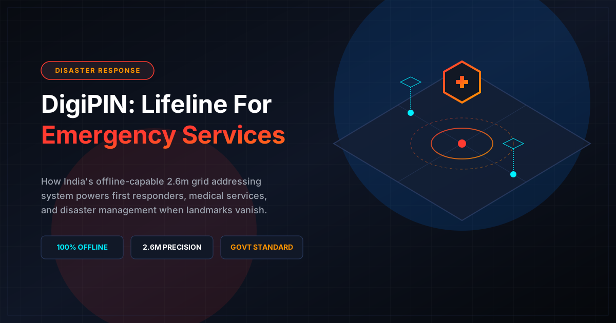
Quick Answer: DigiPIN (Digital Postal Index Number) revolutionizes emergency response in India by dividing the country into a highly precise 2.6m x 2.6m grid. This offline-capable, alphanumeric addressing system allows first responders, disaster management teams, and logistics providers to locate victims and deploy relief instantly, even when physical landmarks are completely destroyed.
In a vast and geographically diverse nation like India, emergency response has long been bottlenecked by a fundamental challenge: addressing. Traditional Indian addresses are highly descriptive, relying on landmarks (“behind the old banyan tree,” “near the temple,” or “opposite the petrol pump”). While this works for local, informal communication, it fails catastrophically during critical emergencies. When a medical crisis strikes, a fire breaks out, or a natural disaster ravages an entire region, every single second lost searching for an ambiguous location can mean the difference between life and death.
Enter DigiPIN (Digital Postal Index Number). Developed by the Department of Posts in collaboration with IIT Hyderabad, DigiPIN is India’s revolutionary national geospatial addressing system. By dividing the entire landmass of India into a grid of tiny 2.6-meter by 2.6-meter cells, DigiPIN assigns a unique, 10-character alphanumeric code to every square inch of the country.
For emergency services, disaster management agencies, and logistics operators, this technology is not just an upgrade—it is a life-saving paradigm shift.
The Anatomy of DigiPIN: Why It Matters in a Crisis
To understand why DigiPIN is a game-changer for emergency response, we must look at how it differs from traditional GPS coordinates and standard postal codes (PIN codes).
Standard PIN codes in India cover massive geographic zones, sometimes spanning dozens of villages or entire urban wards. GPS coordinates (latitude and longitude), while precise, are long, difficult to communicate over crackling radio lines, and highly prone to human transcription errors.
DigiPIN solves these issues through its unique architecture:
- Hyper-Precision: A single DigiPIN represents a exact 2.6m x 2.6m space. This is precise enough to identify a specific room, a building entrance, or a stranded vehicle.
- Alphanumeric Simplicity: Instead of complex decimal degrees, DigiPIN uses a simple, standardized sequence of characters that is easy to read, type, and verify.
- Geospatial Intelligence: The code itself contains spatial logic. Nearby locations have similar DigiPIN prefixes, allowing responders to understand directional proximity even without active mapping software.
4 Key Ways DigiPIN Revolutionizes Emergency Response
+-----------------------------------------------------------------+
|                      DIGIPIN EMERGENCY UTILITY                  |
+-----------------------------------------------------------------+
|  [ Ambulance ]  --> Locates exact building entrance (2.6m grid) |
|  [ Fire Squad]  --> Accesses precise hydrants & hazard zones    |
|  [ Disaster  ]  --> Navigates without physical landmarks        |
|  [ Relief Ops]  --> Maps supplies & drops food to exact cells   |
+-----------------------------------------------------------------+
1. Eliminating the “Last-Mile” Locational Dilemma for Ambulances
For emergency medical services (EMS) like the 108 ambulance service, locating a caller in a congested urban slum or a remote rural hamlet is incredibly difficult. Callers in high-stress situations often struggle to give clear directions.
With DigiPIN integrated into emergency dispatch systems, a caller only needs to share their 10-character code. The ambulance navigation system can plot a route directly to the exact doorway or alleyway entrance, shaving critical minutes off response times.
2. Disaster Relief When Landmarks are Destroyed
Natural disasters—such as the devastating floods in Assam, cyclones in Odisha, or landslides in Himachal Pradesh—frequently wipe out physical infrastructure. When roads are submerged, bridges collapse, and familiar landmarks disappear, traditional maps and addresses become useless.
Because DigiPIN is based on a permanent, mathematical coordinate grid rather than physical structures, the address of a location remains unchanged even if the building itself is swept away. Disaster relief teams can use DigiPIN to:
- Identify the exact locations of submerged homes.
- Coordinate helicopter food drops to isolated communities with pinpoint accuracy.
- Deploy search-and-rescue boats directly to stranded individuals.
3. Seamless Coordination Among Multi-Agency Responders
During a large-scale disaster, multiple agencies—including the National Disaster Response Force (NDRF), State Disaster Response Forces (SDRF), local police, military units, and non-governmental organizations (NGOs)—must work in tandem.
A unified, standardized addressing system is crucial for this collaboration. DigiPIN provides a single source of truth. If the NDRF identifies a structural hazard or a pocket of survivors, they can broadcast a precise DigiPIN to all other agencies, ensuring zero miscommunication.
4. Offline Functionality During Grid Failures
One of the most vulnerable aspects of modern disaster management is the reliance on active internet connections. Cyclones and earthquakes regularly knock out cellular towers and fiber-optic networks, leaving search teams without access to online map engines.
Because the DigiPIN algorithm can be stored locally on devices, it can calculate and decode locations completely offline. Emergency workers equipped with hand-held GPS devices or offline-enabled mobile applications can still navigate the DigiPIN grid, locate critical assets, and coordinate rescue efforts without cellular connectivity.
Synergizing Logistics, Asset Mapping, and Emergency Relief
Disaster management is, at its core, high-stakes logistics. Delivering drinking water, medical supplies, blankets, and temporary shelters to affected zones requires a highly coordinated supply chain.
To understand the foundational technology behind this, explore how DigiPIN simplifies logistics and asset mapping across the country. By utilizing the same geospatial framework for commercial supply chains and emergency relief, government agencies and private logistics partners can seamlessly share data.
For instance, during a public health emergency, vaccine distribution networks can utilize commercial logistics routes mapped via DigiPIN to deliver temperature-sensitive medicines directly to rural clinics without delay.
Implementation Pathway for Government Agencies and First Responders
For India to fully realize the life-saving potential of DigiPIN, a systematic integration across public safety frameworks is essential:
- Integration with Emergency Response Support System (ERSS - Dial 112): India’s unified emergency helpline should natively accept DigiPINs from callers, instantly translating them into coordinates for dispatchers.
- Database Mapping of Critical Infrastructure: Fire stations, hospitals, flood shelters, power grids, and water reservoirs should be cataloged using their precise DigiPINs. This allows disaster managers to assess vulnerabilities and dispatch help to specific utility points instantly.
- Public Awareness Campaigns: Citizens should be encouraged to know and write down their home and workplace DigiPINs, keeping them handy alongside emergency contact numbers.
The Road Ahead: A Safer India Powered by DigiPIN
As India continues to build climate-resilient infrastructure, digital tools like DigiPIN will form the bedrock of public safety. By replacing ambiguous, landmark-based addresses with a rock-solid, mathematical geospatial grid, DigiPIN empowers first responders to act faster, smarter, and more efficiently.
Whether it is guiding a fire truck through a labyrinthine market in Delhi or dropping emergency rations to a flooded village in Bihar, DigiPIN is poised to save countless lives, proving that in the digital age, a precise address is not just a convenience—it is a lifeline.