
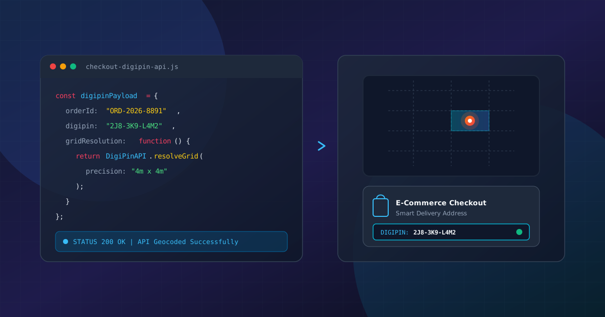
How to Integrate DigiPIN API in E-commerce Checkout
Published on August 11, 2026
Quick Answer: Integrating the DigiPIN API into your e-commerce checkout allows platforms to capture a standardized 10-character alphanumeric geo-location code that resolves addresses to a hyper-accurate 4m x 4m spatial grid. This integration reduces Return-to-Origin (RTO) rates, eliminates ambiguous physical address entries, and streamlines last-mile logistics for courier partners and logistics providers.
The Indian logistics landscape is undergoing a massive transformation with the introduction of DigiPIN (Digital Postal Index Number), developed by the Department of Posts (DoP) in collaboration with IIT Hyderabad. Unlike traditional 6-digit PIN codes that cover vast geographic zones—often spanning several square kilometers—DigiPIN partitions the entire Indian territory into precise 4m x 4m spatial units. Each unit is assigned a unique, offline-derivable 10-character alphanumeric code.
For e-commerce engineering teams, logistics directors, and delivery platforms, adopting DigiPIN at the checkout phase is no longer just an innovative feature; it is becoming an operational imperative.
Before diving into the implementation steps, developers and enterprise architects should understand how DigiPIN differs from traditional PIN codes to appreciate how sub-4-meter spatial grid accuracy solves systemic last-mile failures.
Why E-Commerce Needs DigiPIN at Checkout
Unclear addresses, missing landmarks, and incorrect PIN codes are primary drivers of Return-to-Origin (RTO) orders in Indian e-commerce. Legacy checkout flows rely on free-text address lines that require manual interpretation by delivery personnel.
Legacy Address Workflow:
[ Name ] -> [ Street Address Line 1 & 2 (Vague) ] -> [ City ] -> [ 6-Digit PIN Code (Covers 10+ sq km) ]
Result: Driver loses time searching; higher failed attempt rates.

DigiPIN Workflow:
[ Name ] -> [ 10-Character DigiPIN (e.g., 2J8-3K9-L4M2) ] -> [ Resolved 4x4m Coordinates ]
Result: Precision pinpoint navigation directly to the customer's front door.
Key Technical Advantages for E-Commerce Architectures:
- Mathematical Derivation: DigiPIN uses a hierarchical spatial encoding system that requires zero central database lookups to verify structural validity.
- Reduced API Latency: Frontend apps can validate string syntax offline using client-side SDKs before making server-side geo-resolution requests.
- Interoperability: Logistics aggregators, courier apps, and government delivery services share a single, unified geospatial key.
Technical Overview of the DigiPIN System
DigiPIN divides India into a grid of approximately 4x4 meter bounding boxes using latitude and longitude bounds:
- Bounding Latitude: 6° N to 38.5° N
- Bounding Longitude: 68.5° E to 97.5° E
The 10-character string encodes these coordinates through a 16-character alphanumeric symbol set (excluding easily confused characters like 0, O, 1, I).
API Architecture Diagram
+-------------------+           +----------------------+           +------------------------+
| Customer Frontend |  ======>  | E-Commerce Platform  |  ======>  | Official DigiPIN API / |
| (Checkout Web/App)|  <======  | Backend Server       |  <======  | Local Geocoding Service|
+-------------------+           +----------------------+           +------------------------+
   Captures DigiPIN              Validates Payload &                 Resolves to Lat/Long &
   or Map Location               Stores Order Metadata               Street Name Bounding Box
Step-by-Step API Integration Guide
Integrating DigiPIN into an enterprise e-commerce tech stack involves four key phases: Frontend Capture, Validation, Backend Geo-Resolution, and Fulfillment Payload Formatting.
Step 1: Frontend UI Modification
Add a dedicated DigiPIN input field on your checkout page. Provide a fallback button allowing users to auto-generate their DigiPIN using their browser or mobile device’s GPS location.
<!-- Example Checkout Form Input Block -->
<div class="form-group digipin-container">
  <label for="digipin">Enter DigiPIN (Optional but Recommended for Fast Delivery)</label>
  <input
    type="text"
    id="digipin"
    name="digipin"
    placeholder="e.g., 3M8-9K2-P5Q1"
    pattern="[2-9A-HJ-NP-Z]{10}"
    maxlength="12"
    autocomplete="off"
  />
  <button type="button" id="detect-digipin-btn" onclick="fetchGeoDigiPIN()">
    Use Current Location
  </button>
  <small class="help-text">Pinpoints your exact delivery location within 4 meters.</small>
</div>
Step 2: Client-Side Syntax Validation
Validating the DigiPIN structure on the client side prevents invalid network requests. DigiPIN strings use a specific character set (excluding vowels and ambiguous numbers to avoid offensive words and optical character recognition errors).
/**
 * Client-side validation function for DigiPIN format
 * @param {string} digipin
 * @returns {boolean}
 */
function validateDigiPINFormat(digipin) {
  // Strip hyphens or spaces if user formatted with separators
  const cleanPin = digipin.replace(/[\s-]/g, '').toUpperCase();

  // DigiPIN character set excludes 0, O, 1, I, etc.
  const digipinRegex = /^[2-9A-HJ-NP-Z]{10}$/;

  return digipinRegex.test(cleanPin);
}

// Event listener example
document.getElementById('digipin').addEventListener('blur', (e) => {
  const inputVal = e.target.value;
  if (inputVal && !validateDigiPINFormat(inputVal)) {
    showError("Please enter a valid 10-character DigiPIN format.");
  } else {
    clearError();
  }
});
Step 3: Backend Integration & Geo-Resolution REST Request
When the customer submits the order, your server receives the address data along with the digipin. Your backend calls the DigiPIN API service (or an internal microservice running the open spatial algorithm) to convert the DigiPIN into precise WGS84 geographic coordinates (Latitude/Longitude).
Backend Node.js / Express Example
const express = require('express');
const axios = require('axios');
const app = express();

app.use(express.json());

const DIGIPIN_API_ENDPOINT = "https://api.indiapost.gov.in/digipin/v1/resolve";
const API_KEY = process.env.DIGIPIN_API_KEY;

app.post('/api/checkout/process-address', async (req, res) => {
  try {
    const { streetAddress, city, state, legacyPincode, digipin } = req.body;

    let coordinates = null;

    if (digipin) {
      // Clean string
      const sanitizedDigiPIN = digipin.replace(/[\s-]/g, '').toUpperCase();

      // Resolve DigiPIN to Lat/Long via API
      const response = await axios.post(
        DIGIPIN_API_ENDPOINT,
        { digipin: sanitizedDigiPIN },
        { headers: { 'Authorization': `Bearer ${API_KEY}`, 'Content-Type': 'application/json' } }
      );

      if (response.data && response.data.success) {
        coordinates = {
          latitude: response.data.latitude,
          longitude: response.data.longitude,
          gridBoundingBox: response.data.boundingBox
        };
      }
    }

    // Save order payload to database
    const orderPayload = {
      address: {
        streetAddress,
        city,
        state,
        legacyPincode,
        digipin: digipin || null,
        coordinates: coordinates || null
      },
      created_at: new Date()
    };

    // Store in DB and pass to fulfillment logic...
    res.status(200).json({ success: true, message: "Address processed successfully", data: orderPayload });

  } catch (error) {
    console.error("DigiPIN resolution error:", error.message);
    // Fallback: Continue order processing with standard address
    res.status(200).json({ success: true, warning: "DigiPIN verification skipped, falling back to legacy address." });
  }
});
Expected API JSON Response Schema
{
  "status": 200,
  "success": true,
  "data": {
    "digipin": "3M89K2P5Q1",
    "coordinates": {
      "latitude": 28.613939,
      "longitude": 77.209021
    },
    "boundingBox": {
      "minLat": 28.613921,
      "maxLat": 28.613957,
      "minLng": 77.209002,
      "maxLng": 77.209040
    },
    "district": "New Delhi",
    "state": "Delhi",
    "legacyPincode": "110001"
  }
}
Best Practices for Courier & Logistics System Dispatch
Once captured and resolved, the DigiPIN coordinate data must be transmitted down the fulfillment pipeline.
| Delivery Mechanism | Traditional Setup | DigiPIN-Enabled Setup |
|---|---|---|
| Routing Engine | Clusters orders by 6-digit PIN code districts | Batches orders by sub-kilometer micro-clusters |
| Last-Mile App | Renders static text address on map | Feeds direct high-precision GPS route to driver |
| Verification | Driver calls customer for directions | Driver navigates straight to 4x4m cell marker |
Recommended Logistics Manifest Payload Schema:
When handing off orders to 3PL partners (such as Delhivery, BlueDart, Shadowfax, or India Post), enrich the dispatch JSON schema with spatial coordinates:
{
  "order_id": "ORD-998234-2026",
  "consignee": {
    "name": "Rajesh Kumar",
    "phone": "+919876543210",
    "address_line": "Flat 402, Block B, Green Acres",
    "digipin": "3M89K2P5Q1",
    "geo_precision": {
      "lat": 28.613939,
      "lng": 77.209021,
      "accuracy_meters": 4.0
    }
  }
}
Measuring Impact: Metrics to Track Post-Integration
After deploying DigiPIN to your e-commerce checkout flow, track these key performance indicators (KPIs) to measure efficiency gains:
- First-Time Delivery Attempt Success Rate (FDSR): Compare orders completed on the first attempt with DigiPIN vs. standard PIN code orders.
- Delivery Time Per Stop: Measure time saved per parcel drop by last-mile executives avoiding navigation confusion.
- RTO Reduction Percentage: Calculate cost savings resulting from fewer “Address Not Found” or “Customer Unreachable” status cancellations.
- Customer Support Inquiries: Track decrease in “Where is my order?” (WISMO) tickets related to address verification issues.
Conclusion
Integrating the DigiPIN API into your e-commerce platform transforms your checkout process from a passive text entry system into an active, high-precision spatial positioning engine. By bridging the gap between legacy address descriptions and sub-4-meter geospatial precision, platforms can dramatically cut last-mile shipping costs, increase customer satisfaction, and align with India’s national digital infrastructure standard.
Developers and logistics teams should begin testing DigiPIN API sandboxes today to prepare their supply chain infrastructure for the future of hyper-local deliveries.