
How DigiPIN is Transforming Last-Mile Logistics in India
Published on August 13, 2026
Quick Answer: DigiPIN (Digital Postal Index Number) transforms last-mile logistics in India by establishing a standardized, open-source 4x4 meter geospatial grid system across the nation. By converting unstructured physical addresses into precise alphanumeric codes, DigiPIN eliminates address ambiguity, drastically reduces delivery failures, and optimizes route planning for courier fleets and e-commerce platforms.
The Indian logistics and e-commerce ecosystem has grown at a meteoric pace over the last decade. However, despite rapid digital adoption in payments and storefronts, the physical delivery layer continues to grapple with a persistent, expensive hurdle: address ambiguity.
From intricate urban alleys without door numbers to sprawling rural regions reliance on vague landmarks like “behind the old banyan tree,” traditional delivery mechanisms suffer from friction. Drivers waste millions of hours making clarifying phone calls, navigating wrong turns, and returning undelivered parcels to warehouses.
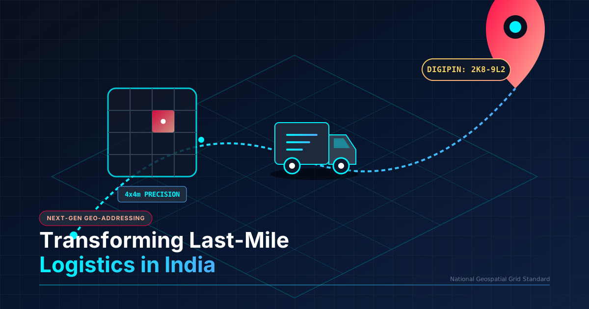
Enter DigiPIN (Digital Postal Index Number)—a revolutionary national geo-addressing initiative spearheaded by the Department of Posts (India Post) in collaboration with IIT Hyderabad. By dividing the entire geographic expanse of India into a digital grid of 4x4 meter units, DigiPIN is laying the groundwork for a hyper-efficient, next-generation last-mile logistics network.
Here is a deep dive into how DigiPIN works, why it is a game-changer for logistics, and how it is reshaping the future of delivery across India.
What is DigiPIN and How Does It Work?
DigiPIN is an open-source, non-proprietary National Geospatial Addressing Grid system. Unlike traditional 6-digit PIN codes that cover wide administrative regions (often spanning tens of square kilometers), DigiPIN provides hyper-local precision.
Key Technical Characteristics of DigiPIN:
- 4x4 Meter Grid Precision: The entire landmass and maritime boundaries of India are divided into approximately 160 billion tiny spatial units, each measuring roughly 4 meters by 4 meters.
- Alphanumeric Code Structure: Each 4x4 meter grid unit is assigned a unique, 10-character alphanumeric code based on its exact latitude and longitude coordinates.
- Hierarchical Grid System: The code uses a spatial partitioning logic—each sequential character refines the location deeper, moving from regional zones down to the specific building entrance or doorstep.
- Privacy-First Design: DigiPIN acts purely as a spatial coordinate tag. It does not store personal identity, land ownership records, or individual user names inside the code itself, ensuring strict data privacy and compliance.
Because DigiPIN is built as an open public digital infrastructure, any e-commerce company, delivery driver, or government agency can freely integrate the addressing engine into their existing mapping stack.
The Last-Mile Challenge in Indian E-Commerce and Logistics
Last-mile delivery accounts for up to 41% to 53% of the total cost of shipping globally, and in India, unstructured addressing compounds this problem significantly.
Traditional Delivery vs. DigiPIN-Enabled Delivery
-------------------------------------------------------------------------------------
Traditional:  [Warehouse] ➔ [Neighborhood] ➔ [Vague Landmark] ➔ [3 Phone Calls] ➔ [Delivered/Failed]
DigiPIN:      [Warehouse] ➔ [Optimized Multi-stop Route] ➔ [Exact 4x4m Doorstep] ➔ [First-time Success]
-------------------------------------------------------------------------------------
Key friction points in traditional delivery include:
- High First-Attempt Delivery Failure (FADF): Delivery personnel often fail to locate houses on the first try, leading to re-attempts or Return to Origin (RTO) statuses.
- Fuel and Time Wastage: Drivers spend excessive time wandering in confusing street networks, burning extra fuel and increasing carbon emissions.
- Reliance on Phone Calls: Drivers frequently call customers multiple times to ask for directions, causing buyer frustration and slowing down delivery throughput.
- Driver Turnover & Onboarding Delay: New delivery partners must spend weeks learning local geographical nuances before achieving optimal speed.
How DigiPIN Solves the Last-Mile Delivery Bottleneck
DigiPIN systematically eliminates addressing friction by turning subjective text descriptions into deterministic, machine-readable geospatial points.
1. Eliminating Address Ambiguity
With DigiPIN, addresses no longer rely on inconsistent spelling variations (e.g., Bengaluru vs. Bangalore, or Chowk vs. Chauk). A customer simply drops their pin once on a mobile map, generating a unique DigiPIN code like 4JK-89L-23P. When the delivery rider approaches, their navigation system guides them directly to the 4x4 meter grid square corresponding to the exact front door or parcel dropbox.
2. Automated Route Optimization for Courier Fleets
Logistics engines relying on text addresses must parse strings using Complex Natural Language Processing (NLP), which frequently misinterprets building names or colony sectors. DigiPIN enables pure mathematical routing. Fleet engines can sort thousands of daily packages into hyper-optimized delivery clusters using simple spatial algorithms, resulting in drastically reducing delivery failures and slashing operational expenses.
3. Seamless Integration with Drone and Autonomous Delivery
As India prepares for drone-based delivery networks in medical supply logistics and quick-commerce, traditional text addresses are unusable. Drones require exact 3D spatial coordinates. DigiPIN’s structured mathematical grid serves as a ready foundation for autonomous delivery bots and drone drop points across rural and urban centers.
4. Direct Navigation for Multi-Storey and High-Density Clusters
In urban metropolitan areas like Mumbai, Delhi-NCR, and Bengaluru, high-density residential towers present unique navigational issues. DigiPIN grid units can distinguish between separate gates, loading docks, and specific residential towers within a single massive housing complex, saving delivery agents precious minutes per package.
Impact Across the Supply Chain Ecosystem
| Stakeholder Group | Major Benefits from DigiPIN Adoption |
|---|---|
| E-Commerce & Courier Companies | Reduces RTO (Return to Origin) rates, cuts fuel burn, lowers cost-per-delivery, and streamlines fleet management. |
| Delivery Executives | Faster parcel drop-offs, less stressful navigation, elimination of manual directional phone calls, and higher daily earning potential. |
| Government Agencies & Emergency Response | Enables rapid response times for ambulances, fire brigades, and disaster management teams using standardized location tags. |
| Everyday Consumers | Enjoy faster delivery times, privacy-centric address sharing, and fewer disruptions from lost delivery personnel. |
Synergy with India’s Digital Public Infrastructure (DPI)
DigiPIN does not exist in isolation; it complements India’s expanding suite of Digital Public Infrastructure (DPI), commonly referred to as the India Stack.
- Unified Logistics Interface Platform (ULIP): DigiPIN integrates smoothly with ULIP to create end-to-end visibility across multi-modal transport networks (rail, road, air, and post).
- Open Network for Digital Commerce (ONDC): As ONDC democratizes e-commerce for small local merchants, DigiPIN gives kirana stores and hyper-local sellers an enterprise-grade location infrastructure without expensive proprietary mapping subscriptions.
- PM Gati Shakti: The spatial precision of DigiPIN aligns with the national master plan for multimodal connectivity infrastructure development, providing accurate location-linked data for planning utility pipelines, roads, and postal facilities.
Preparing Your Logistics Tech Stack for DigiPIN
For logistics operators, 3PL providers, and e-commerce platforms, preparing for DigiPIN adoption requires proactive updates to address management software:
- Update Address Fields: Include a dedicated
DigiPINfield alongside standard PIN code, state, and street address fields in checkout screens. - Implement API Converters: Integrate open DigiPIN API libraries to convert latitude/longitude coordinates to DigiPINs and vice versa during order creation.
- Equip Rider Applications: Ensure driver-facing apps support direct single-tap navigation launching from a DigiPIN code into mapping engines like Bhuvan, Google Maps, or MapmyIndia.
Conclusion: A New Benchmark for Indian Logistics
DigiPIN is more than just a digital postal code; it is a fundamental transformation of physical address infrastructure for 1.4 billion people. By shifting from subjective text-based addressing to a standardized, high-precision geospatial grid, India Post and IIT Hyderabad have handed the logistics industry a powerful tool to eliminate last-mile friction.
As adoption spreads across courier companies, quick-commerce platforms, and government fleets, DigiPIN will dramatically lower delivery costs, boost driver efficiency, and set a worldwide benchmark for digital public infrastructure in logistics.