
How DigiPIN Reduces Delivery Failures & Logistics Costs
Published on July 30, 2026
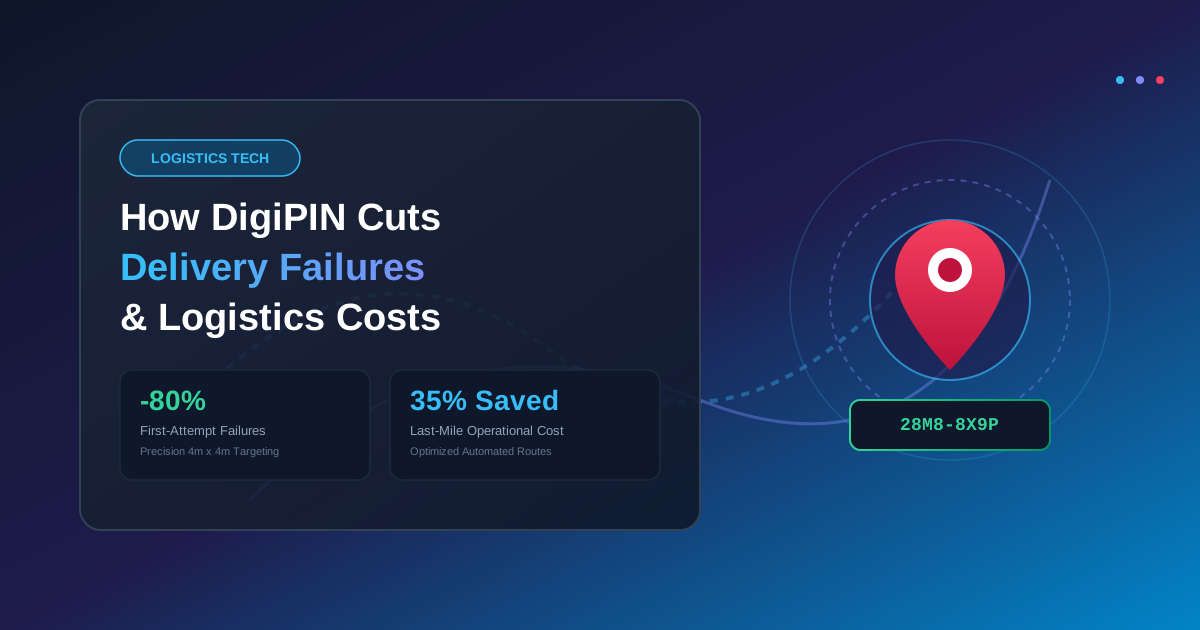
Quick Answer: India’s National GIS-based DigiPIN initiative assigns a unique, 10-digit alphanumeric code to every 4m x 4m area across the country, eliminating ambiguous address descriptions, reducing first-attempt delivery failures by up to 80%, and dramatically slashing last-mile logistics costs.
The last mile of supply chain operations has long been recognized as the most expensive, inefficient, and unpredictable leg of the delivery journey. In India, where rapid urbanization intersects with sprawling rural settlements, navigate-by-landmark addresses like “Behind Old Temple, Near Banyan Tree, Opposite Sharma Sweets” cost logistics companies billions of rupees annually in lost time, extra fuel, and failed delivery attempts.
To solve this persistent infrastructure bottleneck, the Department of Posts, in collaboration with IIT Hyderabad, unveiled DigiPIN (Digital Postal Index Number). This open-source, geo-coded national addressing grid is designed to modernize India’s addressing ecosystem. By converting complex physical addresses into pinpoint-accurate digital coordinates, DigiPIN promises to eliminate delivery failures, boost operational speed, and dramatically lower logistics overheads for e-commerce giants, courier startups, and public utilities alike.
The True Cost of Last-Mile Delivery Failures in India
Last-mile logistics accounts for over 40% to 50% of total transport costs in modern supply chains. In India, address ambiguity amplifies these expenses due to several critical friction points:
1. High Non-Delivery Report (NDR) Rates
When a courier driver cannot locate an address, the parcel is flagged as an NDR. Driver-customer calls, multiple re-attempt cycles, and customer support interventions quickly erode profit margins on individual shipments.
2. Return to Origin (RTO) Penalties
If a parcel fails delivery after two or three attempts, it triggers a Return to Origin (RTO). RTO shipments force merchants to absorb double transit costs, inventory lock-up fees, and potential product damage or shelf-life expiration.
3. Excessive Fuel and Driver Time Wastage
A typical delivery executive in an Indian metro spends up to 25% to 35% of their daily shift idling, calling recipients for directions, or navigating through confusing lanes. This inefficient routing spikes carbon emissions and inflates fleet maintenance costs.
How DigiPIN Works to Solve Address Ambiguity
Unlike traditional postal codes that group entire towns or large urban zones under a single six-digit number, DigiPIN divides the entire landmass and territorial waters of India into a uniform 4-meter by 4-meter grid.
[ Traditional PIN Code ]  --> Covers vast geographic areas (thousands of households)
[ DigiPIN Code ]         --> Identifies an exact 4m x 4m square (the precise doorstep)
Each 4m x 4m cell is assigned a unique 10-digit alphanumeric code derived from exact latitude and longitude coordinates using an open geospatial algorithm.
To fully understand how this granular spatial partitioning surpasses legacy postal systems, you can understand the detailed breakdown of DigiPIN vs PIN Code.
By integrating DigiPIN into address forms during online checkout, e-commerce platforms can instantly lock in exact spatial coordinates without relying on text parsing or human interpretation.
Key Benefits of DigiPIN for Logistics & Courier Companies
Implementing DigiPIN directly impacts a logistics company’s bottom line through four major operational advantages:
                  ┌─────────────────────────────────────────┐
                  │          DigiPIN Architecture           │
                  └────────────────────┬────────────────────┘
                                       │
         ┌─────────────────────────────┼─────────────────────────────┐
         ▼                             ▼                             ▼
┌──────────────────┐          ┌──────────────────┐          ┌──────────────────┐
│  Automated Route │          │  Zero Phone Call │          │ High First-Try   │
│   Optimization   │          │   Dependence     │          │  Success Rate    │
└──────────────────┘          └──────────────────┘          └──────────────────┘
1. Maximized First-Attempt Delivery Rates (FADR)
When delivery executives have precise 4-meter accuracy, the guessing game ends. Drivers can navigate straight to the exact entry gate or building door, pushing First-Attempt Delivery Rates past 95%. Higher FADR directly decreases re-delivery logistics expenses.
2. Automated Smart Route Planning
Traditional address text is difficult for automated algorithms to parse accurately due to spelling mistakes and colloquial location terms. DigiPIN acts as a standardized digital string that route-optimization software can instantly cluster. Dispatch engines can organize deliveries into mathematically optimized, fuel-efficient paths.
3. Elimination of Pre-Delivery Phone Calls
Last-mile delivery partners lose thousands of collective hours waiting for customers to pick up calls and explain local navigation markers. DigiPIN provides direct turn-by-turn guidance, allowing drivers to execute seamless, non-intrusive drop-offs.
4. Reduced Carbon Footprint and Fleet Wear
Shorter delivery routes and zero circular driving translate to direct savings on fuel consumption. Logistics providers can meet ESG (Environmental, Social, and Governance) compliance targets while simultaneously extending the operational lifespan of electric vehicles (EVs) and two-wheeler delivery fleets.
Impact on Government Agencies and Emergency Services
The utility of DigiPIN extends far beyond private e-commerce operations. Public administration, municipal governance, and disaster response teams stand to gain significant efficiency improvements:
- Emergency Medical Services (EMS): Ambulances and fire engines can locate distress calls in densely populated informal settlements or rural regions without delay.
- Public Distribution System (PDS): Government agencies can verify aid distribution, welfare deliveries, and agricultural inputs with accurate spatial verification.
- Property Tax Collection & Urban Planning: Local municipal corporations can map utility connections, water meters, and property assessments directly to DigiPIN grid cells.
Step-by-Step: Integrating DigiPIN into E-Commerce Workflows
For business leaders and technology architects looking to leverage DigiPIN, the adoption path is straightforward:
- Address Collection at Checkout: Introduce a DigiPIN field on web and mobile checkout forms, paired with an interactive map picker.
- API Geocoding: Connect your order management system (OMS) to the open DigiPIN API to validate codes and instantly fetch spatial coordinates.
- Automated Sorting & Dispatch: Feed the standardized spatial coordinates into your warehouse management system (WMS) to automate package sorting by neighborhood micro-zones.
- Driver App Navigation: Pass the 10-digit code directly to driver navigation apps (such as Google Maps or MapmyIndia) for instant, accurate routing.
Frequently Asked Questions (FAQs)
What makes DigiPIN different from standard GPS coordinates?
While standard latitude and longitude coordinates can be long, complex, and prone to formatting errors, DigiPIN compresses spatial data into an intuitive, standardized 10-digit code tailored specifically for nationwide addressing grids.
Is DigiPIN free for businesses and courier companies to use?
Yes, DigiPIN is built as an open, royalty-free digital public infrastructure (DPI) initiative. Businesses, developers, and logistics providers can freely integrate the algorithm into their platforms.
Does DigiPIN respect user privacy?
DigiPIN only identifies a physical spatial location on a grid; it contains no personally identifiable information (PII) such as customer names, phone numbers, or account details.
Conclusion: The Future of Frictionless Indian Logistics
As India’s digital economy expands rapidly across Tier-2, Tier-3, and rural regions, legacy addressing models are no longer sufficient. DigiPIN establishes a unified, robust, and scalable spatial framework that addresses the root causes of delivery failure.
By adopting DigiPIN, logistics operators can turn last-mile friction into a competitive advantage—reducing operational costs, improving customer satisfaction, and building cleaner, faster supply chains for the future.