
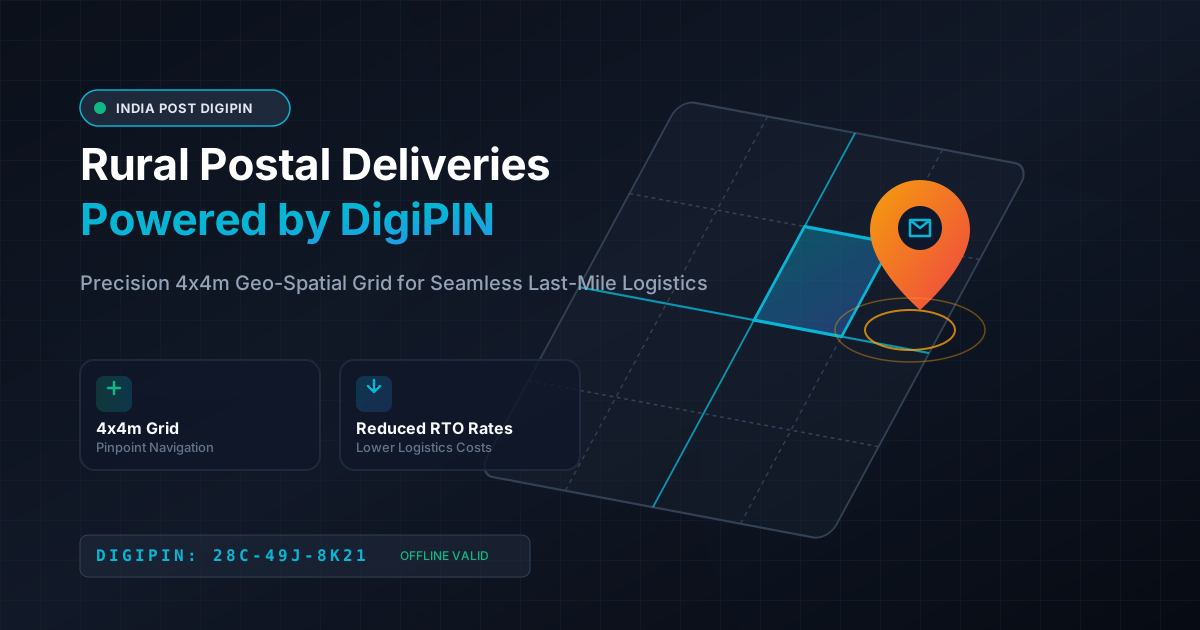
How DigiPIN Transforms India's Rural Postal Deliveries
Published on August 12, 2026
Quick Answer: DigiPIN (Digital Postal Index Number) revolutionizes rural postal deliveries in India by converting vague physical addresses into precise 4m x 4m geo-spatial grid coordinates. This eliminates last-mile navigation errors, lowers delivery costs for courier companies, and dramatically expands e-commerce and government service access across remote villages.
Introduction: The Rural Delivery Dilemma in India
India’s rural landscape encompasses over 600,000 villages, housing nearly 65% of the country’s population. While digital connectivity and smartphone adoption have exploded across rural Bharat, physical addressing has lagged behind. For decades, postal workers and logistics agents in rural regions have relied on informal instructions—such as “behind the primary school,” “near the old banyan tree,” or “house adjacent to the village head.”
This lack of precise address infrastructure creates significant operational bottlenecks. Delivery drivers waste precious time asking for directions, Return-to-Origin (RTO) rates skyrocket, and e-commerce giants hesitate to offer guaranteed fast shipping to remote pin codes.
To solve this systemic issue, the Department of Posts (India Post), in collaboration with IIT Hyderabad, introduced DigiPIN (Digital Postal Index Number). Designed as a foundational pillar of India’s Digital Public Infrastructure (DPI), DigiPIN provides a standardized, offline-capable, highly accurate digital addressing framework tailored specifically to overcome rural delivery challenges.
What is DigiPIN and How Does It Work?
DigiPIN is a 10-digit alphanumeric geo-spatial grid code that uniquely identifies any location across the length and breadth of India, including off-shore territorial waters. Unlike traditional 6-digit PIN codes that cover vast administrative zones, DigiPIN operates on an intricate geo-spatial hierarchy.
Core Technical Pillars of DigiPIN:
- 4m x 4m Grid Precision: DigiPIN divides the entire landmass of India into small $4 \times 4\text{ meter}$ bounding boxes. Every door, plot, or open field gets its own unique code.
- 10-Character Alphanumeric Format: The code is composed using a carefully selected set of 16 alphanumeric characters, deliberately avoiding visually ambiguous letters and numbers (like
0,O,1,I). - Directional Hierarchy: Each character in the 10-digit string narrowing down the location systematically from national regions down to the exact 16-square-meter tile.
- Offline Algorithmic Conversion: DigiPIN codes can be converted to and from precise latitude and longitude coordinates using mathematical algorithms without requiring an active internet connection.
Key Challenges in Rural Last-Mile Logistics
To appreciate the impact of DigiPIN, it is essential to understand why traditional addressing systems fail in rural logistics:
- Absence of Street Names and House Numbers: Most Indian villages lack formal street names, house numbering schemes, or structured property records.
- Dynamic or Perishable Landmarks: Relying on landmarks like shops, trees, or seasonal water bodies causes confusion when businesses close or landscapes change.
- High Return-to-Origin (RTO) Costs: Failed first-time deliveries require multiple re-attempts, inflating operational fuel costs and squeezing logistics margins.
- Driver Dependency: Local delivery knowledge remains locked inside the heads of veteran postal workers (“Postmen”). When a regular delivery driver is absent, regional operations come to a standstill.
Top Benefits of DigiPIN for Rural Postal Deliveries
DigiPIN bridges the gap between digital orders and physical locations, unlocking tangible benefits for logistics firms, government agencies, local entrepreneurs, and everyday citizens.
+-----------------------------------------------------------------------+
|                        DIGIPIN RURAL ADVANTAGE                        |
+-----------------------------------------------------------------------+
|  Pinpoint Accuracy   -->  4x4 Meter Grid Precision                    |
|  Lower RTO Rates     -->  Zero Reliance on Vague Landmarks            |
|  Offline Functional  -->  Works in Zero-Connectivity Villages         |
|  E-Commerce Growth   -->  Extends Express Delivery to Remote Bharat  |
+-----------------------------------------------------------------------+
1. Pinpoint Last-Mile Accuracy
By assigning a 4x4 meter cell to every household, farm, or government building, DigiPIN eliminates ambiguity. Delivery agents no longer need to stop and ask local residents for directions. The navigation system leads the driver straight to the doorstep.
2. Drastic Reduction in Fuel, Time, and RTO Expenses
Logistics costs in India account for approximately 13-14% of GDP, significantly higher than global benchmarks. A major culprit is inefficient last-mile navigation. DigiPIN enables route optimization software to calculate the most efficient path between multiple delivery points in a village cluster, cutting turnaround times by up to 40% and minimizing fuel burn.
3. Accelerated E-Commerce and D2C Expansion
Leading direct-to-consumer (D2C) brands and e-commerce platforms often exclude rural pin codes from cash-on-delivery (COD) or express shipping options due to unreliability. DigiPIN acts as a trust layer. When customers provide their 10-digit DigiPIN at checkout, logistics providers can confidently promise time-bound deliveries.
4. Offline Navigation in Low-Connectivity Zones
Cellular network signals can be erratic in forested, hilly, or deep rural territories. Because DigiPIN’s decoding engine relies on lightweight mathematical algorithms, logistics mobile apps can decode DigiPINs into spatial coordinates offline, keeping drivers moving even without mobile data.
5. Interoperability Across Public and Private Fleet Networks
DigiPIN is built on an open standard. India Post, third-party logistics (3PL) providers like Delhivery, Blue Dart, and Xpressbees, and local courier startups can all utilize the same standard addressing language, ensuring smooth package handoffs along the supply chain.
Empowering Government Schemes and Social Welfare
Rural deliveries extend beyond commercial packages; they are critical for public welfare administration. Government agencies distribute physical benefits, agricultural seeds, fertilizers, land documentation, and medical supplies to rural citizens.
DigiPIN streamlines these crucial public service deliveries:
- Direct Benefit Transfer (DBT) Verification: Linking citizen physical addresses to official records prevents welfare fraud and identity confusion.
- Agricultural Logistics: Enabling doorstep delivery of soil health cards, subsidy inputs, and specialized farming equipment directly to crop fields.
- Disaster Relief & Healthcare: Beyond physical goods, precise addressing saves lives during natural disasters and medical crises. Learn more about how DigiPIN empowers emergency services in India to see how this digital infrastructure coordinates immediate medical and rescue interventions.
Comparative Matrix: Traditional Addressing vs. DigiPIN
| Feature | Traditional Rural Address | DigiPIN System |
|---|---|---|
| Precision Level | Multi-kilometer village region | $4\text{m} \times 4\text{m}$ exact geo-cell |
| Landmark Dependency | High (Shops, trees, rivers) | Zero (Pure mathematical grid) |
| Navigation Efficiency | Low (Requires local inquiries) | High (Direct GPS route targeting) |
| E-Commerce Compatibility | Poor (High cancellation risk) | Native (API-ready for checkout forms) |
| Offline Performance | Variable | 100% functional via math logic |
| Standardization | None (Informal & subjective) | Uniform across national boundaries |
Step-by-Step Integration for Logistics & Courier Companies
For logistics executives and software professionals looking to integrate DigiPIN into their delivery tech stack, the implementation path is straightforward:
[Address Capture at Checkout] --> [Validate via DigiPIN API] --> [Convert to Lat/Long] --> [Optimize Driver Route]Step 1: Update Address Input Forms
Incorporate a dedicated “DigiPIN” field on e-commerce checkout pages and logistics booking apps. Provide automated lookups using current GPS location for rural users.
Step 2: Leverage Open API Microservices
Utilize official India Post or certified developer microservices to parse 10-digit DigiPIN strings into geographic coordinates (Latitude / Longitude bounding boxes).
Step 3: Enhance Last-Mile Driver Routing
Feed the parsed spatial coordinates directly into your routing and dispatch engines. Program delivery apps to highlight the $4 \times 4\text{m}$ grid overlay when the driver approaches within 50 meters of the destination.
Step 4: Measure RTO and Cost Metrics
Track key metrics post-implementation, focusing on time-per-stop, first-attempt delivery success rates, and customer support ticket reductions in newly covered rural sectors.
Conclusion: The Road Ahead for Rural Delivery Infrastructure
DigiPIN is more than a simple numbering system; it is a transformative digital public good that levels the economic playing field between urban centers and rural villages. By replacing guesswork with mathematical precision, DigiPIN unlocks seamless last-mile postal deliveries, empowers local commerce, and accelerates economic inclusion for millions of citizens across rural India.
As adoption spreads across private courier companies, e-commerce giants, and government bodies, DigiPIN will serve as the invisible backbone powering the next decade of India’s logistics revolution.