
DigiPIN for Rural India: Transforming Last-Mile Logistics
Published on August 3, 2026
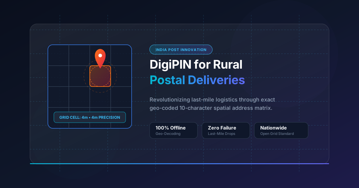
Quick Answer: DigiPIN (Digital Postal Index Number) revolutionizes rural deliveries in India by dividing the entire country into a 4m x 4m geo-coded grid matrix. By converting exact latitude and longitude coordinates into a simple 10-character alphanumeric code, DigiPIN solves the challenge of non-standard rural addresses, dramatically lowering last-mile logistics costs, reducing failed delivery attempts, and expanding e-commerce accessibility across remote regions.
Rural delivery infrastructure in India has long struggled with a fundamental challenge: the absence of standardized physical addresses. In thousands of villages, hamlets, and agricultural regions, houses lack traditional street names, house numbers, or registered postal codes specific to individual structures. Descriptions such as “behind the old banyan tree near the secondary school” may work for local mail carriers who know the town residents personally, but they fall completely flat for modern automated logistics networks, e-commerce platforms, and emergency responders.
To solve this systemic friction, India Post, in collaboration with IIT Hyderabad, introduced DigiPIN (Digital Postal Index Number)—a national layer of open, standardized, offline-capable geo-coded addressing.
In this comprehensive guide, we explore how DigiPIN works, why it is a game-changer for rural delivery networks, and how courier companies, government agencies, and everyday citizens stand to benefit.
What is DigiPIN and How Does It Work?
DigiPIN is an open-spec, 10-character alphanumeric digital address system that covers the entire geographical expanse of India, extending up to 200 nautical miles into its Exclusive Economic Zone (EEZ).
Unlike traditional PIN codes that cover wide administrative regions—often spanning tens or hundreds of square kilometers—DigiPIN operates at a hyper-local scale.
The 4m x 4m Grid System
The core architecture of DigiPIN relies on a spatial bounding box model:
- Grid Partitioning: The geographical area of India is divided hierarchically into a grid system down to atomic cells measuring 4 meters by 4 meters.
- Alphanumeric Representation: Every single 4m x 4m spatial cell in India is assigned a unique, deterministic 10-character code using a custom alphanumeric set (excluding confusing characters like ‘0’, ‘O’, ‘1’, and ‘I’).
- Deterministic Math: DigiPIN relies entirely on directional spatial bounding algorithms. This means a mobile device or logistics software can convert latitude and longitude coordinates into a DigiPIN (and vice-versa) completely offline without querying a centralized database.
+-------------------------------------------------------+
|  Level 1: Region Level Grid                           |
|  +-------------------------------------------------+  |
|  |  Level 2: Sub-Region Grid                       |  |
|  |  +-------------------------------------------+  |  |
|  |  |  ... -> Level 10: 4m x 4m Precise Cell    |  |  |
|  |  |  DigiPIN: "4J8-K2L-9P72"                    |  |  |
|  |  +-------------------------------------------+  |  |
|  +-------------------------------------------------+  |
+-------------------------------------------------------+
Key Benefits of DigiPIN for Rural Postal Deliveries
1. Unmatched Precision for Addressless Regions
The primary hurdle in rural delivery is locating the actual customer destination. Traditional address parsing algorithms frequently fail when interpreting informal rural descriptions.
With DigiPIN, a farm residence located deep inside a village receives an exact 4m x 4m grid coordinate. A delivery executive equipped with a basic smartphone navigation app can navigate directly to the doorway or front gate without needing local human guidance or placing multiple phone calls.
2. Empowering E-Commerce and Rural Commerce
E-commerce penetration in rural India (Tier-4 regions and beyond) has historically suffered high cancellation rates due to “address non-traceability.”
When courier platforms integrate DigiPIN into their address checkout fields:
- First-Time Right Deliveries: Couriers drop packages off at the precise location on the first attempt.
- Expanded PIN Code Boundaries: E-commerce companies can extend delivery services to remote settlements previously marked as “undeliverable.”
- Seller Empowerment: Rural artisans, farmers, and micro-enterprises can share their exact production facility location with national freight dispatchers, simplifying supply chain pickup operations.
3. Drastic Reduction in Logistics Costs & Carbon Footprint
Last-mile delivery accounts for up to 53% of total shipping costs. In rural areas, delivery executives spend excessive time wandering, making phone calls, and backtracking due to vague directions.
By eliminating search time:
- Fuel consumption drops significantly per route.
- Delivery agents complete significantly more drop-offs per shift.
- Overall operational expenditure (OpEx) for third-party logistics (3PL) providers decreases.
4. Seamless Integration with Emergency and Relief Services
Address resolution is not merely a commercial benefit; it is a critical safety net. In rural regions during natural disasters, flash floods, or medical emergencies, traditional landmarks may vanish or become inaccessible.
Using DigiPIN, relief agencies and ambulance networks can pinpoint stranded citizens down to their exact 4m x 4m grid location. To explore how this technology aids critical life-saving interventions, read our detailed analysis on precision location mapping in disaster management.
5. Streamlining Government Welfare Delivery (Direct Benefit Transfer)
Government schemes often rely on physical verification for delivering agricultural machinery, subsidized fertilizers, banking services, and welfare kits. DigiPIN enables government field officers to tag verified beneficiary properties accurately, preventing fraud, duplication, and ghost beneficiaries in rural development programs.
Impact Matrix across Stakeholders
| Stakeholder Group | Traditional Challenges | DigiPIN Transformation |
|---|---|---|
| Everyday Rural Users | High order cancellation rates; frequent phone calls from delivery drivers | Reliable doorstep delivery; effortless spatial address sharing |
| Courier & 3PL Companies | Expensive last-mile legs; high engine idling; address resolution failures | Optimized route planning; lower cost per parcel; expanded delivery reach |
| India Post & Gramin Dak Sevaks | Heavy reliance on local carrier memory and informal village knowledge | Standardized digital workflow; easier onboarding for new postal personnel |
| Government Agencies | Inaccurate spatial verification for subsidies and rural infrastructure | Fraud-free spatial tagging for welfare programs and agricultural supply chains |
Technical Integration: Why Developers and Logistics Techs Love DigiPIN
From an engineering perspective, DigiPIN offers distinct advantages over proprietary or centralized addressing solutions:
- Zero Database Overhead: Because the conversion from
(Latitude, Longitude)toDigiPINis purely mathematical, system architectures do not require costly database lookups or cloud API calls for coordinate resolution. - Offline Resilience: Rural delivery agents operating in low-connectivity zones (“dark spots”) can still decode or verify DigiPIN coordinates using lightweight local SDKs.
- Open Access Framework: As a open national standard pushed by India Post, DigiPIN prevents vendor lock-in, enabling interoperability across public and private logistics systems.
Raw Coordinates (Lat, Long)  --->  Offline Math Algorithm  --->  10-Digit DigiPIN
          (28.6139, 77.2090)  --->  [ Bounding Box Cell ]  --->  (e.g., 3M9-8K2-1X74)
The Road Ahead: Scaling DigiPIN for Modern India
As India expands its national logistics pipeline under initiatives like the National Logistics Policy (NLP) and PM Gati Shakti, digital physical infrastructure becomes just as crucial as paved highways. DigiPIN bridges physical geography with digital data systems.
By adopting DigiPIN, rural India moves from vague, descriptive address strings to hyper-precise spatial coordinates. The result is a more inclusive, economically efficient, and connected national delivery ecosystem.
Conclusion
DigiPIN represents a monumental leap forward for India’s postal and logistics sector. By solving the core bottleneck of rural addressing through a 4m x 4m spatial grid matrix, it empowers rural communities, reduces delivery costs for logistics providers, and accelerates modern e-commerce adoption across every corner of the country.
For logistics companies, tech platforms, and public agencies, integrating DigiPIN today is the key to unlocking the vast potential of Bharat’s rural market.