
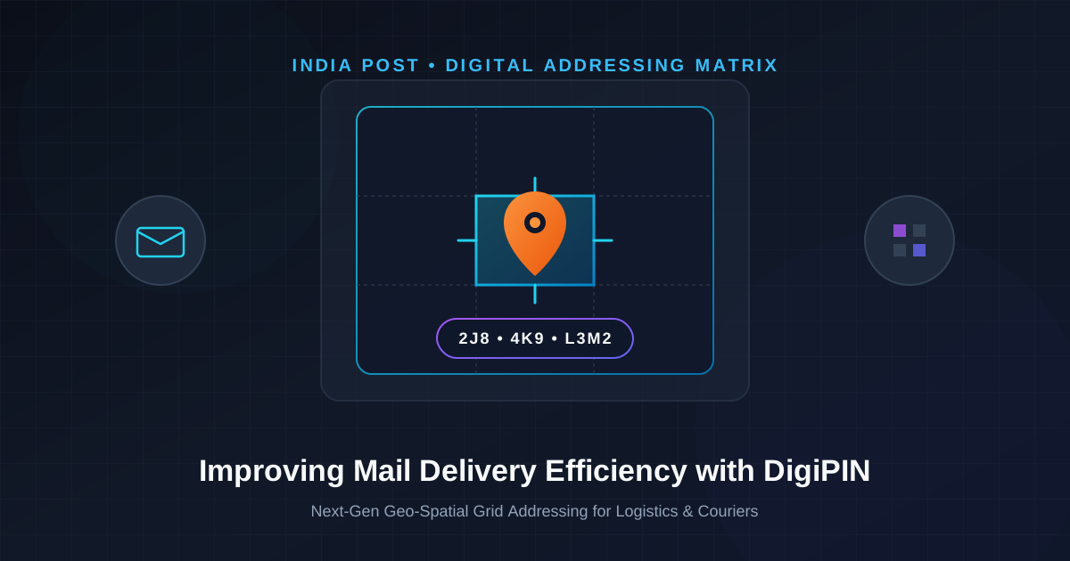
DigiPIN and India Post: Transforming Mail Delivery
Published on August 6, 2026
Quick Answer: DigiPIN (Digital Postal Index Number) enhances mail delivery efficiency across India by converting complex physical addresses into 10-character alphanumeric geo-spatial grid coordinates. Developed by India Post and IIT Hyderabad, DigiPIN pinpoints locations within a 4m x 4m precision grid, enabling automated route planning, faster last-mile deliveries, and seamless logistics operations.
For decades, navigating Indian addresses has presented a notorious challenge for postal workers, private couriers, and logistics algorithms alike. Describing a location often relies on vague landmarks—“Behind the ancient banyan tree, near the old water tank, third left after the sweet shop.” While culturally rich, traditional addressing causes significant delays, high fuel consumption, and higher rates of returned or undelivered packages.
To overcome these structural hurdles, the Department of Posts (India Post), in collaboration with IIT Hyderabad, introduced DigiPIN (Digital Postal Index Number). This open, national geo-spatial digital addressing grid system is set to overhaul the logistics landscape, establishing a standardized foundation for physical deliveries, emergency response, and public infrastructure across India.
What is DigiPIN and How Does It Work?
DigiPIN is an open-source, standardized digital addressing system designed specifically for India’s unique geographic landscape. Unlike traditional PIN codes that designate broad geographic zones or delivery post offices, DigiPIN divides the entire Indian subcontinent—including territorial waters—into a precise, hierarchical matrix of 4-meter by 4-meter grid cells.
Each grid cell is assigned a unique, 10-character alphanumeric code. This code is derived directly from geographic coordinates (latitude and longitude), creating a seamless bridge between modern satellite navigation systems and physical addressing.
To understand the mathematical elegance and spatial breakdown behind this 10-character code, read our detailed analysis on A Deep Dive into DigiPIN Code Structure & Grid Addressing.
  Traditional PIN Code (6 Digits)        DigiPIN Grid System (10 Characters)
+---------------------------------+    +---------------------------------------+
|  Covers vast regions/cities     |    |  Pinpoints exact 4m x 4m spatial cell |
|  Example: 110001 (New Delhi)    | -> |  Example: 2J8-4K9-L3M2                |
|  Requires human landmark lookup |    |  Directly machine-readable & searchable|
+---------------------------------+    +---------------------------------------+
The Core Challenges in Traditional Indian Mail Delivery
Understanding why DigiPIN is revolutionary requires analyzing the inefficiencies inherent in the legacy postal framework:
- Inconsistent Address Formats: India lacks a uniform address format. Multi-language descriptions, regional variations, and colloquial street names make automated OCR (Optical Character Recognition) sorting difficult.
- The “Last-Mile” Bottleneck: Courier drivers spend up to 30% of their daily route calling recipients, searching for landmarks, and re-navigating missed streets.
- High Return-to-Origin (RTO) Rates: E-commerce businesses suffer high financial losses due to failed deliveries caused by inaccurate or incomplete addresses.
- Rural Accessibility Deficits: Remote villages often lack street names or door numbers, forcing postal workers to rely entirely on personal memory and local community knowledge.
Key Benefits of DigiPIN Across Stakeholders
The rollout of DigiPIN directly addresses these systemic issues, offering transformative capabilities for every node in the logistics ecosystem.
1. For India Post & Courier Companies
- Automated Package Sorting: Sorting hubs can use automated scanners to read DigiPIN codes and divert packages to exact delivery routes without requiring complex text-parsing algorithms.
- Optimized Last-Mile Routing: Navigation software can cluster nearby DigiPINs effortlessly, allowing delivery drivers to follow dynamically optimized, fuel-efficient delivery sequences.
- Reduced Operational Costs: Minimizing wrong-turn re-routes and phone calls significantly cuts down vehicle emissions, labor hours, and operational overhead.
2. For Government Agencies & Urban Planners
- Disaster Response & Emergency Services: Ambulances, fire engines, and rescue teams can navigate to an exact 4m x 4m plot during floods, earthquakes, or urban emergencies where street signs are absent.
- Public Utility Mapping: Municipal authorities can map water meters, electric poles, public toilets, and tax zones with uniform spatial precision.
- Seamless Social Welfare Schemes: Direct-to-door distribution of relief material, pensions, and healthcare kits becomes traceable and verifiable.
3. For Everyday Users and E-Commerce Shoppers
- Zero Location Confusion: Citizens no longer need to write paragraph-long landmark instructions when placing orders online.
- Enhanced Privacy: A 10-character DigiPIN conveys spatial coordinates without exposing sensitive personal address details on package labels.
- Faster Delivery Turnarounds: Precise navigation ensures same-day and next-day deliveries become standard across both urban hubs and rural districts.
Technical Comparison: Traditional PIN Code vs. DigiPIN
| Parameter | Traditional PIN Code | DigiPIN System |
|---|---|---|
| Resolution / Precision | Regional zone / Post office level (Km scale) | Micro-grid level (4m x 4m plot) |
| Code Length | 6 numerical digits | 10 alphanumeric characters |
| Human vs Machine Centric | Requires local human landmark knowledge | Native satellite geo-spatial coordinates |
| Offline Capability | High (human memory) | High (deterministic mathematical algorithm) |
| Addressing Scope | Urban / Suburban inhabited areas | Nationwide coverage (Land, sea, rural) |
How Logistics Infrastructure Integrates DigiPIN
Integrating DigiPIN into modern logistics pipelines requires minimal architectural friction due to its open-source and deterministic design.
[ User Inputs DigiPIN ]
       │
       ▼
[ Logistics API / System ] ──(Deterministic Decoding)──► [ Latitude / Longitude ]
       │                                                         │
       ▼                                                         ▼
[ Sorting Hub Automation ] ─────────────────────────────► [ Optimized Route Generation ]
       │                                                         │
       ▼                                                         ▼
[ Dispatch Package ] ───────────────────────────────────► [ Direct Doorstep Delivery ]- Address Input: Users provide their 10-character DigiPIN during online checkout or package booking.
- API Parsing: Enterprise ERPs and Warehouse Management Systems (WMS) run light mathematical algorithms to decode the DigiPIN into precise latitude and longitude coordinates—even offline.
- Hub Clustering: Sorting engines group packages into geographic clusters based on prefix matching without querying central databases.
- Final Delivery Execution: Delivery drivers follow GPS directions straight to the 4m x 4m cell, dropping off parcels with pinpoint accuracy.
Future Outlook: Autonomous Delivery and Beyond
As India builds out its next-generation smart infrastructure, DigiPIN acts as the foundational layer for future logistics technologies:
- Drone Deliveries: Autonomous unmanned aerial vehicles (UAVs) require precise 3D spatial coordinates rather than text descriptions. DigiPIN provides the exact target landing coordinates required for drone drop-offs.
- Smart Locker Networks: Automated parcel lockers installed in apartment complexes or metro stations can be uniquely tagged with DigiPIN codes for autonomous drop-off and pickup.
- Cross-Border Interoperability: Because DigiPIN is anchored to global latitude/longitude standards, international freight and customs systems can route packages into India with uniform efficiency.
Conclusion
The partnership between India Post and IIT Hyderabad in launching DigiPIN marks a major step forward in India’s digital infrastructure development. By turning complex physical addresses into a unified 4m x 4m grid network, DigiPIN resolves last-mile delivery bottlenecks, reduces operational friction for courier companies, and provides citizens with fast, dependable logistics service.
As enterprise tools, government departments, and e-commerce platforms adopt this open system, DigiPIN is positioned to become a fundamental pillar of modern Indian logistics and digital governance.