
DigiPIN in Emergency Services: Saving Lives in India
Published on August 31, 2026
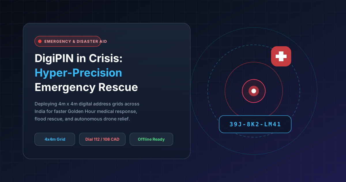
Quick Answer: DigiPIN (Digital Postal Index Number) provides an ultra-precise 4m x 4m alphanumeric geospatial grid across India, allowing first responders, disaster relief teams, and emergency dispatchers to instantly pinpoint distress locations without relying on ambiguous street names or failing telecommunications landmarks.
In emergency response and disaster management, time is measured in heartbeats. The medical concept of the “Golden Hour” dictates that receiving definitive medical care within the first sixty minutes of a traumatic injury or sudden medical event drastically increases survival rates.
However, in India—a country with dense urban slums, sprawling semi-planned colonies, and vast, unmapped rural terrains—first responders frequently waste critical minutes navigating vague landmark-based directions. An ambulance directed to “near the banyan tree behind the old post office” can be delayed by 15 to 30 minutes, sometimes with fatal consequences.
The introduction of the DigiPIN (Digital Postal Index Number) system, developed by India Post in collaboration with IIT Hyderabad and the Department of Posts, fundamentally changes this paradigm. By assigning every 4-meter by 4-meter parcel of land in India a unique 10-digit alphanumeric code, DigiPIN creates an unshakeable digital addressing foundation for emergency services, National Disaster Response Force (NDRF) operations, and civic resilience.
1. The Critical Geolocation Bottleneck in Indian Emergencies
Traditional Indian addresses rely heavily on descriptive landmarks, informal locality names, and wide-area 6-digit postal codes. When an emergency call reaches centralized dispatch centers (like Dial 112, 108 for medical, or 101 for fire services), dispatchers face severe hurdles:
- Homonymous Place Names: Dozens of streets, chauks, or colonies within the same district often share identical names.
- Lack of Formal House Numbering: Millions of households in rural and peri-urban regions lack standardized building identifiers.
- Large Postal Zones: When evaluating the differences between DigiPIN and standard PIN codes, it becomes evident that a single 6-digit PIN code covers dozens of square kilometers, making it useless for pinpoint emergency dispatch.
DigiPIN resolves these hurdles by bypassing linguistic ambiguity entirely and replacing it with an offline-decodable, algorithmically generated geospatial coordinate.
+-------------------------------------------------------------+
|               TRADITIONAL VS DIGIPIN DISPATCH               |
+-------------------------------------------------------------+
| Traditional: "Behind Kali Temple, Gali No. 4, Sector 12"   |
| -> Search radius: 2.5 km | Avg delay: 18 minutes            |
+-------------------------------------------------------------+
| DigiPIN: "39J-8K2-LM41"                                     |
| -> Exact 4m x 4m grid cell | Instant Turn-by-Turn Routing   |
+-------------------------------------------------------------+
2. How DigiPIN Powers First Responders (Ambulance, Fire, Police)
Emergency response systems function as a continuous chain of precision routing, communication, and swift execution. DigiPIN enhances every link in this chain.
Instant 112 / 108 CAD Integration
Computer-Aided Dispatch (CAD) systems deployed in state emergency centers can ingest DigiPIN strings instantly via SMS, automated IVR, or emergency apps. Because DigiPIN encodes latitude and longitude mathematically:
- The dispatcher enters the 10-character code into the CAD system.
- The software translates the code into exact geospatial coordinates without contacting an external map server.
- The closest emergency fleet vehicle is automatically assigned and routed to the 4x4-meter bounding box.
Hyper-Localized Fire Hydrant and Asset Mapping
For fire and rescue services (Dial 101), reaching the burning structure is only half the battle. Locating municipal water hookups, emergency exits, and underground gas shutoff valves in dense commercial zones can be hazardous. Municipal authorities can tag every fire hydrant, utility shutoff, and high-risk chemical storage unit with a distinct DigiPIN, allowing fire crews to access these critical assets even through thick smoke or at night.
3. Disaster Management and Flood/Cyclone Relief Coordination
India’s diverse geography makes it vulnerable to extreme climate events—including coastal cyclones in Odisha and Gujarat, monsoonal flash floods in Kerala and Assam, and seismic vulnerabilities across the Himalayan belt. During large-scale natural disasters, physical landmarks such as road signs, trees, and bridges are often washed away or submerged.
       [Disaster Zone Incident] (No visible landmarks)
                   |
                   v
      [Civilian Transmits DigiPIN] (e.g., via SMS / Satellite)
                   |
                   v
     +-----------------------------+
     | NDRF / Indian Coast Guard   |
     +-----------------------------+
      /              |            \
     v               v             v
[Drone Survey] [Airdrop Relief] [Rescue Boat Dispatch]
1. Zero-Landmark Navigation for the NDRF and SDRF
When urban centers experience severe inundation, road networks disappear underwater. Rescue teams navigating via motorized boats cannot rely on traditional street maps. With DigiPIN:
- Stranded citizens can read their DigiPIN from offline government apps or saved property documents and transmit it via SMS.
- National Disaster Response Force (NDRF) boats navigate directly to the specific roof or balcony grid coordinate.
2. High-Precision Drone Supply Drops
During post-cyclone or landslide isolation, emergency medical kits, blood packets, baby formula, and purification tablets must be delivered by Autonomous Unmanned Aerial Vehicles (UAVs).
- DigiPIN’s 4m x 4m accuracy matches the landing and drop-zone tolerances of modern commercial cargo drones.
- Relief agencies can automate 200+ daily drone airdrops without requiring human operators to manually guide laser beacons or interpret GPS drift.
3. Evacuation Shelter and Relief Camp Logistics
Disaster mitigation authorities can track internal displacement by indexing camps, mobile clinics, and dry ration distribution hubs using DigiPIN. This prevents logistical duplication, identifies underserved clusters, and ensures equal aid distribution across affected zones.
4. Operational Advantages for Logistics and Fleet Responders
DigiPIN is built with structural attributes that make it uniquely resilient during mission-critical operations:
| Feature | Operational Benefit in Emergencies |
|---|---|
| Offline Algorithmic Decoding | Responders can convert DigiPINs to lat/long offline, ensuring operations continue when cellular networks go down. |
| Human-Readable Structure | The 10-character format with standard dividers prevents transcription errors under high stress. |
| Exclusion of Ambiguous Characters | DigiPIN avoids easily confused alphanumeric characters (like O vs 0 and I vs 1), reducing call center entry mistakes. |
| Interoperability with GIS | Easily interfaces with OpenStreetMap, Bhuvan (ISRO), Google Maps, and proprietary military/police GIS consoles. |
5. Implementation Roadmap for Disaster Management Authorities
To realize the full life-saving potential of DigiPIN, state disaster management authorities (SDMAs) and emergency response networks should focus on three implementation pillars:
+---------------------------------------------------------------+
|             EMERGENCY INTEGRATION IMPLEMENTATION              |
+---------------------------------------------------------------+
|  1. Public Awareness & Household Plaque Labeling             |
|     Ensure citizens know their property's 10-character code   |
+---------------------------------------------------------------+
|  2. Emergency CAD & Dispatch API Upgrades                     |
|     Upgrade Dial 112/108 software to ingest DigiPIN strings    |
+---------------------------------------------------------------+
|  3. Offline Mobile Kits for Field First Responders            |
|     Equip rescue units with offline-first GIS navigation apps |
+---------------------------------------------------------------+- Household Code Awareness: Encourage residential welfare associations (RWAs) and village panchayats to display the DigiPIN on entry gates and community boards alongside traditional house numbers.
- CAD Gateway Upgrades: Equip municipal emergency dispatch systems with native DigiPIN encoding and decoding microservices.
- Field Unit Offline Toolkits: Equip every police vehicle, ambulance, and disaster rescue vessel with ruggedized tablets loaded with offline DigiPIN routing layers.
Conclusion: Turning Geolocation into a Lifesaving Asset
The transition to DigiPIN represents more than a logistical upgrade for commercial couriers—it is a vital pillar of national safety infrastructure. By turning India’s entire geographical territory into an indexed, mathematically predictable grid, DigiPIN eliminates ambiguity during life-or-death situations.
Whether routing an advanced life support ambulance through a congested alleyway or directing an NDRF rescue boat to a submerged rooftop, DigiPIN guarantees that help reaches those in need with speed and accuracy.