
How DigiPIN Revolutionizes Logistics & Asset Mapping
Published on July 14, 2026
Quick Answer: India’s DigiPIN system revolutionizes logistics by dividing the country into highly precise, alphanumeric grid coordinates. This eliminates address ambiguity, enabling courier companies and government agencies to achieve flawless last-mile delivery and efficient asset mapping.
In a rapidly developing economy like India, logistics forms the backbone of commerce. Yet, courier companies, e-commerce giants, and government agencies consistently battle a unique, trillion-rupee challenge: unstructured, vague, and inaccurate physical addresses. Landmarks like “behind the old temple” or “near the blue gate” lead to missed deliveries, excessive fuel consumption, and severe operational inefficiencies.
To solve this, the Department of Posts (India Post), under the Ministry of Communications, has introduced DigiPIN (Digital Postal Index Number). This revolutionary initiative aims to establish a standardized, national grid-based digital addressing system. By dividing the entire country into small, highly accurate spatial grids, DigiPIN is set to completely transform navigation, last-mile logistics, and asset mapping.
Understanding DigiPIN: The Grid-Based Future
Unlike the traditional 6-digit PIN code, which covers vast geographical zones, DigiPIN represents a highly localized, alphanumeric representation of a specific geographical coordinate.
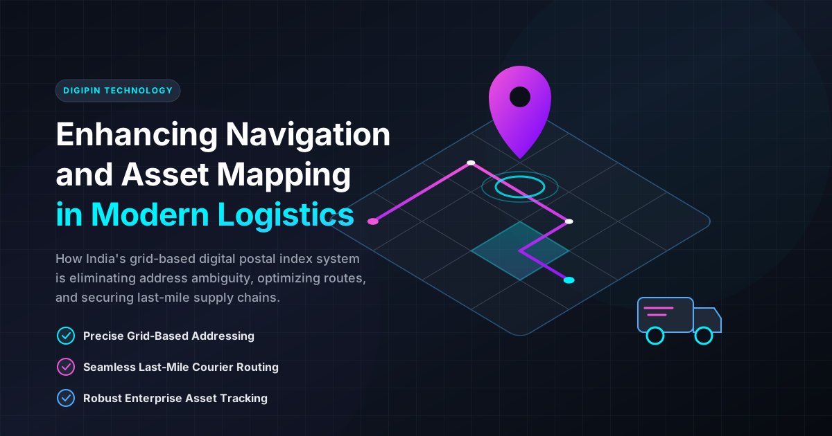
The system works by overlaying a digital grid across the entire landmass of India. Each cell within this grid is assigned a unique, permanent alphanumeric code. This code represents an exact location, down to a few meters. Because it relies on spatial coordinates rather than descriptive text, it bypasses the linguistic, regional, and structural variations of Indian addresses.
For logistics companies, this means shifting from “interpreting” addresses to simply “navigating” to a precise coordinate.
How DigiPIN Enhances Last-Mile Navigation
Last-mile delivery is notoriously the most expensive and time-consuming part of the logistics supply chain. DigiPIN directly targets this bottleneck in several key ways:
1. Eliminating Address Ambiguity
Traditional addresses in India are often descriptive rather than locational. A delivery agent might spend 15 minutes calling a customer to find their exact location. With DigiPIN, the delivery app can pinpoint the exact entrance of a building or a warehouse, drastically reducing delivery times and phone calls.
2. Dynamic Route Optimization
Logistics software relies on clean data to calculate the most efficient routes. Traditional addresses are difficult for machine-learning algorithms to parse. DigiPIN provides clean, structured, and standardized location inputs. This allows routing engines to sequence deliveries perfectly, saving fuel, reducing carbon emissions, and increasing the number of successful deliveries per shift.
3. Seamless Offline Navigation
Because DigiPIN is based on a logical, mathematical grid system, it can be decoded even in areas with poor internet connectivity. Delivery agents working in remote rural areas or dense urban canyons with spotty cellular service can still rely on DigiPIN-enabled offline maps to find their destinations.
To start leveraging this technology, businesses and individuals can learn how to generate a DigiPIN to map their specific coordinates instantly.
Transforming Asset Mapping and Infrastructure Tracking
Beyond moving parcels from point A to point B, DigiPIN is a game-changer for enterprise asset mapping and public infrastructure management.
[Traditional Address]  ──(Vague, descriptive)──> High Error Rate / Delayed Audits
[DigiPIN Coordinate]   ──(Precise Grid ID)  ──> Instant Asset Tracking & Auditing
High-Value Asset Tracking
For logistics firms managing high-value machinery, cold-chain storage units, or distributed warehouses, keeping an accurate inventory of physical locations is critical. Mapping these assets to a DigiPIN ensures that their location is recorded with absolute spatial accuracy, simplifying audits and maintenance schedules.
Disaster Management and Emergency Services
For government agencies, mapping critical public assets—such as water pipelines, electric grids, telecom towers, and healthcare centers—using DigiPINs allows for rapid response during emergencies. In the event of floods or earthquakes, rescue teams can locate specific infrastructure points using their DigiPINs, even if all physical landmarks have been destroyed.
The Strategic Value for Key Stakeholders
The implementation of DigiPIN offers distinct advantages across different sectors of the economy:
| Stakeholder Group | Primary Pain Point | DigiPIN Solution |
|---|---|---|
| Courier & E-Commerce Companies | High RTO (Return to Origin) rates, fuel wastage, delivery delays. | First-time-right deliveries, automated route planning, lower operational costs. |
| Government Agencies | Inefficient welfare delivery, poor infrastructure mapping, slow disaster response. | Accurate targeting of benefits, streamlined public asset registries, precise emergency dispatch. |
| Everyday Users | Constant calls from delivery agents, missed packages, difficulty sharing locations. | A single, easy-to-share alphanumeric code that represents their exact doorstep. |
Integrating DigiPIN into Existing Logistics Workflows
Adopting DigiPIN does not require logistics companies to overhaul their entire IT infrastructure. Instead, it can be integrated as an API layer within existing Enterprise Resource Planning (ERP) and Warehouse Management Systems (WMS).
- Address Validation at Checkout: E-commerce platforms can prompt users to enter their DigiPIN alongside their traditional address.
- Geofencing and Sorting: Warehouses can use DigiPIN prefixes to automatically sort packages into zonal bins, bypassing manual sorting errors.
- API-Driven Dispatch: Delivery apps can automatically convert the DigiPIN into latitude and longitude coordinates for immediate navigation via standard mapping services.
Conclusion: Driving the Future of Spatial Logistics
As India continues its march toward becoming a global manufacturing and digital hub, modernizing its physical and digital infrastructure is non-negotiable. DigiPIN is not merely an upgrade to the postal system; it is a fundamental spatial infrastructure that will power the next generation of logistics, governance, and commerce.
By bridging the gap between physical locations and digital systems, DigiPIN ensures that businesses can operate with unprecedented precision, speed, and efficiency. Whether you are a courier startup looking to cut delivery costs, a government agency mapping rural assets, or an everyday consumer waiting for a package, the transition to DigiPIN promises a faster, smarter, and more connected India.