
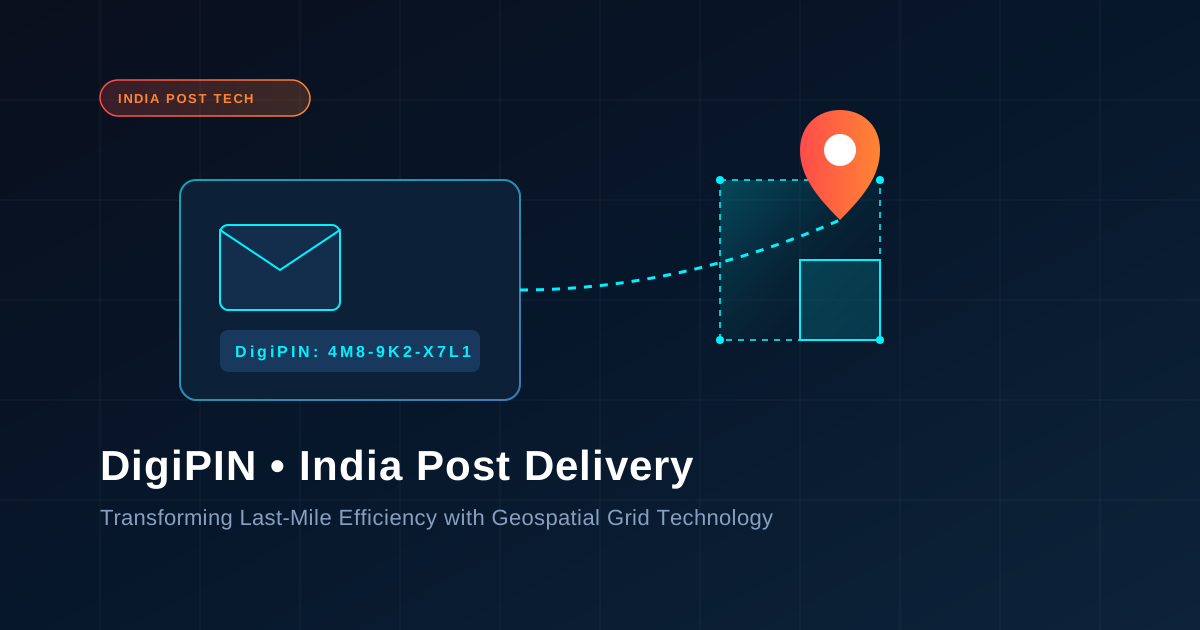
DigiPIN and India Post: Transforming Delivery Efficiency
Published on July 28, 2026
Quick Answer: DigiPIN (Digital Postal Index Number) is a 10-digit alphanumeric geospatial grid system developed by India Post and IIT Hyderabad that anchors physical locations to precise 4m x 4m geographical coordinates. It improves mail and parcel delivery efficiency by eliminating address ambiguity, lowering Last-Mile Logistics costs, and enabling seamless automated routing across urban and rural India.
Introduction: The Last-Mile Challenge in Indian Logistics
India’s logistical landscape is one of the most complex in the world. With over 1.4 billion residents spread across dense metropolitan hubs, sprawling suburban developments, and remote rural hamlets, identifying exact physical addresses has historically presented a monumental challenge. Traditional PIN codes (Postal Index Numbers) divide the country into broad geographical zones, but a single 6-digit PIN code often covers hundreds of square kilometers and tens of thousands of households.
This macro-level addressing system forces delivery personnel to rely heavily on informal landmarks, manual phone calls, and local physical inquiries. The result? Extended delivery times, inflated operational costs, high Return to Origin (RTO) rates, and significant carbon footprint inefficiencies.
To solve this systemic friction, India Post, in collaboration with IIT Hyderabad, introduced DigiPIN (Digital Postal Index Number). DigiPIN transforms address identification from arbitrary text descriptions into a precise, standardized, and interoperable national geospatial grid system.
What is DigiPIN? Understanding the Geospatial Grid Technology
DigiPIN is an open-source, standardized 10-character alphanumeric digital addressing code that divides the entire geographical expanse of India—including its territorial waters—into a uniform grid.
+-----------------------------------------------------------------------+
|                         NATIONAL GEOSPATIAL GRID                      |
|                                                                       |
|   +-------------------+                         +-----------------+   |
|   | 4m x 4m Grid Cell |  <--- DigiPIN Code ---> |  Latitude &     |   |
|   |  (Target Point)   |      "J2-8K9-3P4M"      |  Longitude      |   |
|   +-------------------+                         +-----------------+   |
+-----------------------------------------------------------------------+
Key Technical Specifications of DigiPIN:
- Grid Scale: The system divides the country into fine-grained units measuring 4 meters by 4 meters (with capabilities for finer sub-grids), ensuring pin-point accuracy down to a specific doorstep or building entrance.
- Algorithmic Structure: Using an advanced bounding-box algorithm based on latitude and longitude, DigiPIN converts spatial coordinates into a simple, human-readable 10-digit alphanumeric code.
- Privacy by Design: Unlike GPS coordinates linked directly to individual identities, a DigiPIN simply identifies a static 4m x 4m spatial cell. It contains no personal information, maintaining strict privacy compliance.
- Offline Calculation: The encoding and decoding mathematics behind DigiPIN run locally on smartphones and devices without requiring continuous server connectivity or active internet access.
How DigiPIN Enhances Mail Delivery Efficiency
The integration of DigiPIN into India Post’s vast distribution network and private logistics pipelines fundamentally changes how physical mail, e-commerce parcels, and essential documents travel across the country.
     Traditional Addressing                     DigiPIN Geospatial Routing
+-------------------------------+             +-------------------------------+
|  "Behind Old Temple,          |             |  DigiPIN: 4M8-9K2-X7L1        |
|  Near Banyan Tree, Ward 4"    |             |                               |
|               |               |  ========>  |  Direct GPS Coordinates       |
|               v               |             |  Zero Ambiguity               |
|  Multiple Calls & Lost Time   |             |  Automated Sorting & Delivery |
+-------------------------------+             +-------------------------------+
1. Eliminating Last-Mile Ambiguity
In conventional setups, delivery agents lose up to 30% of their daily working hours navigating confusing street layouts or calling recipients for directions. DigiPIN provides exact mathematical coordinates, guiding navigation applications directly to the doorstep or drop-off zone.
2. Automated Sorting Center Processing
Sorting centers are the heart of postal operations. By printing DigiPIN barcode or QR formats on package shipping labels, India Post automated sorting hubs can instantly route packages to exact delivery beats using optical scanners, bypassing manual sorting errors.
3. Substantial Cost Reductions and RTO Prevention
Failed deliveries and Return to Origin (RTO) processing represent major losses for courier agencies and e-commerce companies. Implementing exact digital grid addresses prevents failed attempts caused by address mismatches. For a deeper analysis on operational savings, explore how optimizing route accuracy and eliminating RTO costs enables organizations to maximize fleet yield and decrease overall fuel consumption.
Strategic Impact Across Key Stakeholders
DigiPIN is designed as a foundational public digital infrastructure (similar to UPI or Aadhaar), benefiting a broad spectrum of users and enterprises across India.
| Stakeholder Group | Primary Pain Point | DigiPIN Solution & Impact |
|---|---|---|
| Everyday Consumers | Missed deliveries, frequent calls from couriers, rural delivery delays | Seamless doorstep delivery, instant location sharing, faster e-commerce turnarounds |
| Courier & Logistics Firms | High fuel expenses, inaccurate maps, high RTO rates, driver churn | Automated route optimization, reduced delivery cycles, higher first-try success rates |
| India Post & Dept of Posts | Sorting center overheads, vast rural mapping gaps | Unified digital address database, optimized mail carrier beats, upgraded national logistics |
| Government & Emergency Services | Delayed disaster response, poor welfare distribution | Precise dispatch coordinates for ambulances, fire services, and relief supplies |
For Courier Companies and E-Commerce Platforms
Private logistics players integrated into India Post’s public network can consume DigiPIN APIs to standardize customer address inputs at checkout. This dramatically improves dynamic vehicle routing algorithms (VRP), enabling delivery drivers to drop off multiple parcels in a single tightly grouped geographic cluster.
For Government Services and Urban Planning
Beyond commercial mail, DigiPIN acts as a digital spatial key for municipal authorities. Property tax collection, emergency service routing (108 ambulances, fire brigades), utility mapping (water, gas, electrical meters), and public welfare dispatch can all be tied directly to a citizen’s DigiPIN location.
Comparative Advantage: DigiPIN vs. Traditional Addressing Systems
To understand why DigiPIN is superior for modern logistics, consider how it compares with existing systems:
               DIGIPIN vs TRADITIONAL POSTAL SYSTEMS

   Metric                Traditional PIN        DigiPIN Grid
   -----------------------------------------------------------------
   Precision Level       Regional (5-20 km)     Micro (4m x 4m)
   Human Dependency      High (Landmarks)       Zero (Coordinate-based)
   Machine Readable      Limited                Native (Barcodes/QR)
   Privacy Standard      Variable               High (Location-only)
Offline Usable No (Needs Local Knowledge) Yes (Mathematical)- Standardized Spatial Grid: Unlike legacy proprietary address systems, DigiPIN is an open, royalty-free national standard managed directly by the Government of India.
- Universal Interoperability: Any courier app, mapping tool, or logistics management system (LMS) can decode a DigiPIN locally using open-source libraries without paying platform licensing fees.
- Seamless Rural Coverage: Unmapped rural sectors with no formal street names or house numbers receive identical 4m x 4m grid precision as major tech parks in Bengaluru or Mumbai.
Frequently Asked Questions (FAQs)
What makes DigiPIN different from a standard 6-digit PIN code?
A standard 6-digit PIN code represents a broad post office delivery zone covering large neighborhoods or entire towns. In contrast, a 10-digit DigiPIN pinpoints a specific 4m x 4m spatial location, making it accurate down to individual home entrances or loading docks.
Does DigiPIN replace my current postal address?
No, DigiPIN does not replace physical postal addresses. It acts as an auxiliary digital spatial tag that works alongside traditional text addresses to eliminate ambiguity for automated delivery systems and navigation tools.
Is an active internet connection required to generate or verify a DigiPIN?
No. The core mathematical algorithm behind DigiPIN converts latitude and longitude into the alphanumeric string offline. Mobile applications equipped with the DigiPIN library can encode and decode positions locally without server connectivity.
The Road Ahead for Indian Logistics
The national adoption of DigiPIN marks a monumental transition toward a tech-driven, highly efficient postal ecosystem. By replacing ambiguous text descriptions with exact 4m x 4m digital spatial markers, India Post is empowering everyday citizens, private couriers, e-commerce giants, and public safety agencies alike.
As logistics networks continue to adopt this open national standard, Indian e-commerce will enjoy unprecedented delivery speeds, minimal fuel wastage, and reliable access to even the most remote locations in the country.