
How Couriers Use DigiPIN to Optimize Delivery Routes
Published on August 8, 2026
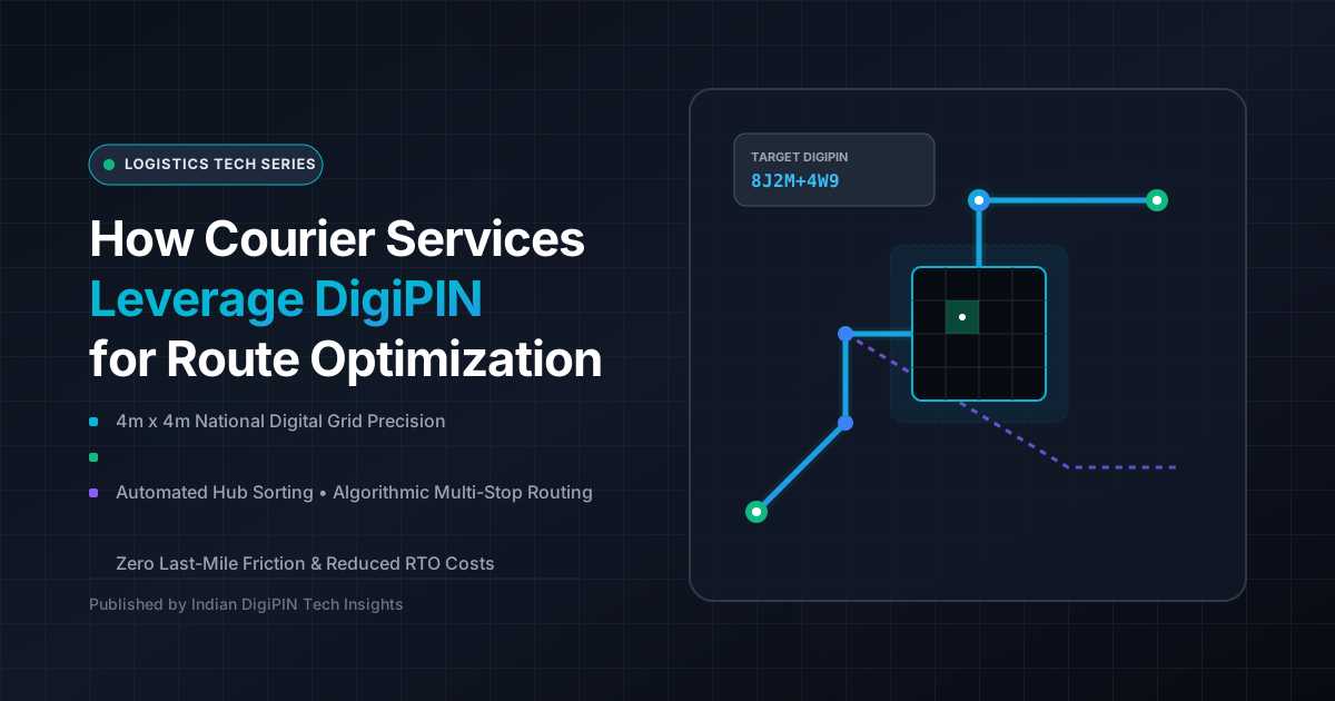
Quick Answer: Courier services leverage DigiPIN by converting complex, unstructured Indian street addresses into precise 10-digit 4m x 4m geospatial grid coordinates. This enables automated parcel sorting, precise last-mile navigational routing, reduced fuel consumption, and near-zero Return-to-Origin (RTO) rates.
The last mile is widely recognized as the most complex and expensive leg of the supply chain, often accounting for over 50% of total shipping costs. In a rapidly expanding economy like India’s, delivery couriers have historically struggled with imprecise addresses, missing door numbers, and reliance on vague local landmarks (e.g., “Opposite the big banyan tree, behind the main temple”).
Enter DigiPIN (Digital Postal Index Number), a revolutionary national geospatial addressing initiative championed by India Post and the Department of Posts in collaboration with top geospatial experts. By dividing the entire geographical expanse of India into a uniform matrix of 4-meter by 4-meter digital grids—each identified by an alphanumeric code—DigiPIN provides exact physical locations.
For logistics operators, e-commerce giants, and express courier firms, DigiPIN is not just a digital address; it is a foundational technology that turns chaotic last-mile logistics into a mathematically optimized, algorithmic routing machine.
The Core Challenge: Why Traditional Indian Addresses Fail Logistics
To understand the transformative power of DigiPIN, one must examine the operational bottlenecks inherent in traditional Indian addressing:
- Unstructured Data Formats: Traditional addresses vary widely in formatting. Address lines often include localized colloquialisms, spelling errors, and missing pin codes, making automated optical character recognition (OCR) sorting challenging.
- Navigational Friction: Delivery executives spend upwards of 15 to 20 minutes per delivery phone-calling customers to ask for directions, causing delivery vehicles to idle, waste fuel, and miss strict delivery windows.
- High Return-to-Origin (RTO) Rates: High failure rates on first-attempt deliveries force packages back to hub centers, incurring double transit costs and tying up warehouse inventory.
- Sub-optimal Multi-Stop Routing: Modern route-planning engines rely on latitude and longitude coordinates. Reverse-geocoding unstructured text into GPS points frequently results in errors of several hundred meters—placing a delivery vehicle on the wrong side of a divided highway or inside an adjacent gated community.
By establishing a standardized digital grid, DigiPIN solves these pain points at their root source. To better understand how this spatial grid is built, you can read our detailed breakdown on geospatial grid architecture.
4 Strategic Ways Courier Services Leverage DigiPIN
Logistics technology stacks are rapidly integrating DigiPIN APIs into their Enterprise Resource Planning (ERP) and Fleet Management Systems (FMS). Here is how courier services are applying DigiPIN to revolutionize route planning and execution.
+-------------------------------------------------------------------+
|                  TRADITIONAL vs. DIGIPIN ROUTING                  |
+-------------------------------------------------------------------+
| Traditional: Address -> Text Parsing -> Geo-Bias Error -> Calls   |
| DigiPIN:     Code -> Exact 4x4m Grid -> Auto-Clustering -> Pinpoint|
+-------------------------------------------------------------------+
1. Automated Parcel Clustering and Hub-Level Sorting
Before a delivery driver even turns the ignition key, DigiPIN optimizes the sorting process inside automated fulfillment hubs.
Because DigiPIN codes are hierarchical and spatially indexed, neighboring 4m x 4m grids share common prefixes. High-speed sorters scan the DigiPIN barcode on a package and instantly categorize items into hyper-local delivery bags.
Instead of sorting parcels by broad 6-digit postal PIN codes (which often cover several square kilometers with thousands of households), courier hubs group packages down to specific neighborhood blocks, streets, or multi-story buildings automatically.
2. Algorithmic Multi-Stop Route Optimization
Route optimization software relies on solving the classic Traveling Salesperson Problem (TSP)—finding the shortest, fastest path across dozens or hundreds of delivery stops.
When inputting traditional address strings, route engines waste computing power trying to match fuzzy locations. With DigiPIN:
- Instant Matrix Generation: Route solvers map exact spatial coordinates across all 100+ delivery stops assigned to a driver.
- Traffic-Aware Micro-Routing: Knowing the pinpoint origin and destination prevents improper routing (such as routing a van down a narrow pedestrian alley or forcing illegal U-turns across major thoroughfares).
- Consolidated Stops: Multiple packages targeted to different floor levels within the same complex are recognized as sharing identical or adjacent DigiPIN grids, allowing drivers to park once and execute multiple drop-offs seamlessly.
3. Dynamic Last-Mile Navigation for Delivery Drivers
Once on the road, delivery personnel use driver-facing mobile applications empowered by DigiPIN vector mapping tools.
Instead of relying on generic consumer maps that pinpoint the center of a large property or land plot, DigiPIN leads the driver directly to the delivery entrance, gate, or loading dock.
This eliminates the “last 50-meter problem”—the frustrating scenario where a driver arrives at the correct building complex but spends 10 minutes finding the exact stairwell or tower.
4. Significant Reduction in Fleet Operational Expenses (OpEx)
The economic benefits of route optimization via DigiPIN directly impact a logistics operator’s bottom line:
| Metric | Traditional Address Delivery | DigiPIN-Optimized Delivery | Operational Impact |
|---|---|---|---|
| First-Attempt Success Rate | 70% – 80% | 95%+ | Drastically lowers RTO costs |
| Average Time Per Stop | 8 – 12 minutes | 3 – 5 minutes | Doubles driver daily capacity |
| Daily Fuel Consumption | High (frequent idling/backtracking) | Low (optimized pathing) | Reduces carbon footprint & fuel bill |
| Driver Onboarding Time | Weeks (requires local area knowledge) | Hours (grid-guided navigation) | Reduces dependence on local expertise |
Technical Integration: Bringing DigiPIN into Fleet Management Systems
For logistics engineers and courier tech teams, integrating DigiPIN involves a straightforward software workflow:
[Customer Checkout / Order Creation]
                 │
                 ▼
     [DigiPIN API Validation]
                 │
                 ▼
  [Spatial Coordinate Indexing]
                 │
                 ▼
[Clustering & TSP Engine Routing]
                 │
                 ▼
[Driver App Navigation Matrix]- Ingestion & Validation: During checkout on e-commerce platforms, the customer provides or auto-detects their DigiPIN. The address validation API verifies the string against national spatial grid databases.
- Geospatial Translation: The system converts the 10-digit code into precise latitude and longitude boundaries using lightweight, offline-capable SDKs.
- Clustering Engine: Mathematical clustering algorithms (such as DBSCAN or K-Means) group delivery points based on spatial proximity.
- Sequence Generation: Fast graph-routing engines generate optimized step-by-step turn vectors, sending updated routes directly to the driver’s device in real-time.
What the Future Holds: Autonomous Delivery and Drone Logistics
As courier services transition toward electric vehicle (EV) fleets, automated guided vehicles (AGVs), and delivery drones, precise grid coordinates become non-negotiable.
Autonomous systems cannot “ask a neighbor for directions” or “look for a landmarked storefront.” They require structured, machine-readable, high-precision spatial inputs.
DigiPIN’s 4m x 4m resolution offers the exact fidelity required for drone drop zones, automated delivery locker identification, and robotic curbside handoffs. By adopting DigiPIN today, Indian logistics providers are future-proofing their operational backbone for the next generation of autonomous freight.
Conclusion
DigiPIN is fundamentally reshaping Indian logistics by turning spatial ambiguity into mathematical certainty. By integrating DigiPIN into parcel sorting, cluster-based route planning, and last-mile driver guidance, courier companies cut operational costs, reduce emissions, boost customer satisfaction, and achieve unprecedented delivery speeds.
For fleet managers and courier startups aiming to gain a competitive edge in today’s fast-moving market, adopting DigiPIN-enabled route optimization is no longer just an optional upgrade—it is an operational imperative.