
DigiPIN for Smart Cities: Next-Gen Address Systems
Published on August 24, 2026
Quick Answer: DigiPIN provides a standardized, 4x4-meter alphanumeric digital addressing grid across India, serving as the foundational geospatial backbone for smart cities to optimize emergency response, urban governance, e-commerce logistics, and municipal utility management.
Rapid urbanization across India has turned traditional address systems into a labyrinth of vague landmarks, duplicate street names, and informal housing clusters. As cities expand into megacities, conventional alphanumeric door numbers and 6-digit postal PIN codes fall short of providing the pinpoint accuracy demanded by automated logistics, municipal GIS systems, and rapid emergency services.
Enter DigiPIN (Digital Postal Index Number)—an initiative pioneered by the Department of Posts in collaboration with IIT Hyderabad. By mapping the entire geography of India into a granular, standardized digital grid, DigiPIN establishes the essential digital public infrastructure (DPI) required to transform ordinary urban centers into hyper-connected smart cities.
The Urban Addressing Crisis in Modern Indian Cities
In fast-growing metropolitan hubs like Bengaluru, Pune, Hyderabad, and Delhi-NCR, physical addressing has long struggled to keep pace with infrastructural growth:
- Unstructured Door Addressing: Informal developments, subdivided plots, and sprawling multi-tower complexes make traditional addresses non-standardized and difficult for delivery routing algorithms to parse.
- Economic Toll on Logistics: Courier and e-commerce companies lose an estimated 10% to 15% of delivery efficiency to the “last 500 meters” problem—relying on repeated phone calls, manual navigation, and missed deliveries.
- Critical Delays in Emergency Response: Ambulances, fire tenders, and police units often lose precious minutes navigating maze-like residential layouts or non-indexed arterial lanes.
- Municipal Blind Spots: Property tax valuation, utility metering (water, power, sewage), and localized sanitation monitoring suffer when urban local bodies (ULBs) lack a unified geospatial identifier for physical properties.
DigiPIN directly remedies these challenges by transforming every physical location into a machine-readable, human-memorable digital code.
What is DigiPIN and How Does It Power Smart City Infrastructure?
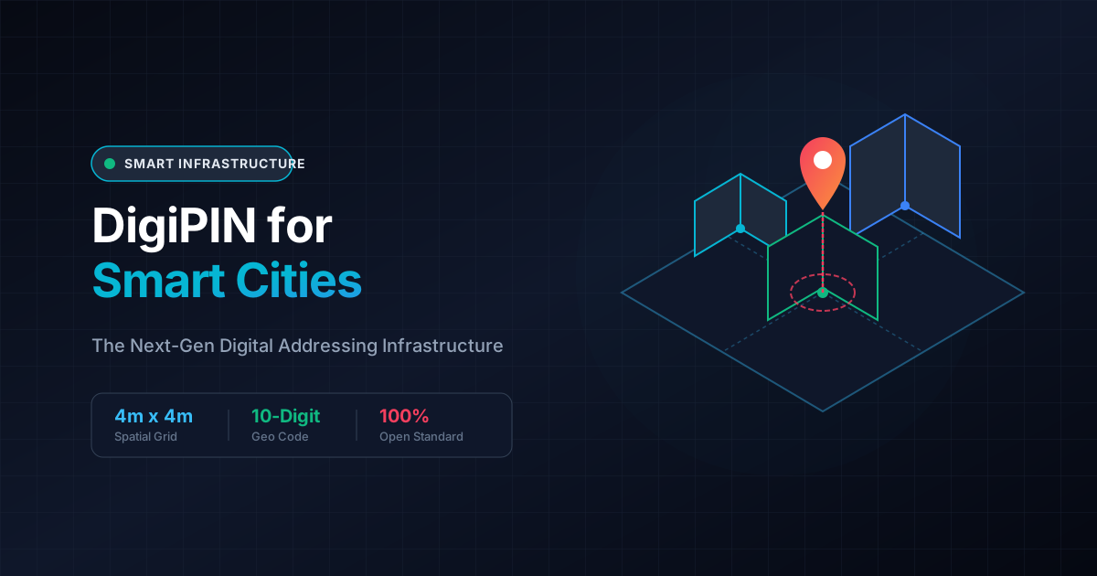
DigiPIN is an open, interoperable geospatial addressing system that divides the Indian landmass into uniform 4-meter by 4-meter bounding boxes. Each unit is assigned a unique, 10-character alphanumeric code derived mathematically from its latitude and longitude coordinates.
+---------------------------------------------------------+
|                  India Landmass (Level 0)               |
+---------------------------------------------------------+
       |
       v  [Hierarchical Grid Division]
+---------------------------------------------------------+
|   Regional Grid  -->  City Zone  -->  Neighborhood Grid |
+---------------------------------------------------------+
       |
       v  [Terminal Precision: 4m x 4m]
+---------------------------------------------------------+
|            DigiPIN: 10-Character Alphanumeric           |
|            Example: "28J-9KL-44P2"                      |
+---------------------------------------------------------+
Core Architecture Features:
- Hierarchical Spatial Partitioning: The code structure reflects geographic containment, allowing systems to determine relative distance and regional proximity directly from the characters.
- Offline Decodability: Because DigiPIN is algorithmic and deterministic, proprietary network connectivity is not strictly required to convert between geographic coordinates and a DigiPIN code.
- No Private Data Stored: Unlike centralized database systems, a DigiPIN carries no personal ownership data—it simply references a geographic point, ensuring end-user privacy and security.
For individual citizens and business enterprises looking to adopt this framework, you can learn how to create a digital address code to index homes, storefronts, and warehouse facilities into the digital grid.
Strategic Benefits of DigiPIN for Smart City Stakeholders
+-----------------------------------------------------------------------+
|                       DIGIPIN SMART CITY IMPACT                       |
+-----------------------------------+-----------------------------------+
|  Sector                           |  Direct Value Added               |
+-----------------------------------+-----------------------------------+
|  Logistics & Couriers             |  Zero last-mile navigation loss   |
|  Emergency Services (112/108)     |  Pinpoint navigation to doorway   |
|  Urban Local Bodies (ULBs)        |  Unified tax & utility GIS mapping|
|  Autonomous Transport & Drones    |  Standardized landing coordinates |
+-----------------------------------+-----------------------------------+
1. Last-Mile Logistics and the ONDC Ecosystem
The Open Network for Digital Commerce (ONDC) and quick-commerce operators depend on low friction and rapid dispatch times. Integrating DigiPIN directly into logistics dispatch algorithms eliminates manual phone-based navigation. Courier personnel can navigate directly to the exact building gate, loading bay, or tower entrance.
2. Lifesaving Emergency Response Operations
Emergency response platforms (such as the 112 emergency helpline and 108 ambulance networks) can integrate DigiPIN into their computer-aided dispatch (CAD) engines. When a caller provides a 10-digit DigiPIN:
- Emergency vehicles avoid dead ends and gated access restrictions.
- First responders reach victims inside dense urban settlements with high spatial precision.
- Mutual aid agencies share identical coordinate references without discrepancy.
3. Urban Governance, Property Tax, and Utility Management
Municipal corporations can leverage DigiPIN as a primary key across urban databases:
- Property Tax Digitization: Link tax assessments to physical 4x4m footprints to detect unassessed constructions.
- Smart Grid Maintenance: Tag transformers, underground water valves, and fiber junctions with DigiPIN for rapid maintenance dispatch.
- Disaster Management: In flood or fire scenarios, municipal command centers can trigger localized SMS alerts restricted to affected DigiPIN zones.
Implementation Roadmap for Municipalities and Enterprises
Successfully rolling out DigiPIN across urban landscapes requires a coordinated multi-tier deployment:
[Phase 1: GIS Layer Integration]
       │
       ▼
[Phase 2: Municipal Database Cleansing]
       │
       ▼
[Phase 3: Logistics & Enterprise API Onboarding]
       │
       ▼
[Phase 4: Citizen Awareness & Physical QR/DigiPIN Signage]
Step 1: Base Map Alignment with PM GatiShakti & BharatMaps
Municipal GIS platforms must harmonize existing property and street layers with the National Spatial Data Infrastructure (NSDI) and PM GatiShakti framework, ensuring seamless interoperability between state and central geospatial repositories.
Step 2: Enterprise API & Logistics System Migration
Courier networks, food delivery aggregators, and supply chain ERP platforms should update checkout address fields to accept and validate DigiPIN tokens, converting legacy unstructured string addresses into verified spatial records.
Step 3: Public Infrastructure Tagging
Smart cities should introduce DigiPIN metadata onto physical street signs, building number plates, and utility poles via high-contrast QR codes and alphanumeric plaques, bridging the digital-physical divide.
Future Horizon: Drones, Autonomous Mobility, and AI Urban Planning
As Indian cities prepare for automated drone delivery corridors (under the DGCA DigitalSky framework) and autonomous mobility solutions, standard string-based addresses become obsolete. Unmanned aerial vehicles (UAVs) require exact 3D coordinates and geo-fenced boundaries for safe drop-offs.
DigiPIN provides the foundational, standardized coordinate syntax needed to define designated aerial drop zones, automated delivery lockers, and autonomous vehicle pickup bays.
Conclusion
The DigiPIN framework is not merely a modern version of the postal code—it is an essential pillar of India’s Digital Public Infrastructure. By providing an open, uniform, and hyper-accurate addressing standard, DigiPIN eliminates systemic friction across urban logistics, elevates municipal governance, and provides the technological bedrock for resilient, future-ready smart cities.